Area Overview for HU10 7NN
Photos of HU10 7NN
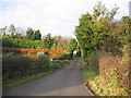
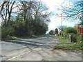
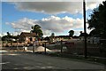
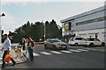
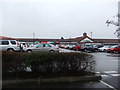
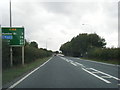
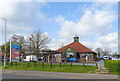
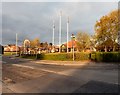
46 photos from this area
Area Information
Key information about the HU10 7NN including its size, population, and administrative classification.
- Area Type
- Postcode
- Area Size
- 5.1 hectares
- Population
- 1859
- Population Density
- 1745 people/km²
House Prices in HU10 7NN
32
Properties
£279,178
Average Sold Price
£110,000
Lowest Price
£475,000
Highest Price
Showing 32 properties
| Address | Type | Beds | Baths | Last Sale Price | Last Sale Date | |
|---|---|---|---|---|---|---|
| 16 Laxton Garth, Kirk Ella, HU10 7NN | Detached | 4 | 2 | £385,000 | Jan 2025 | |
| 5 Laxton Garth, Kirk Ella, HU10 7NN | Detached | 4 | 2 | £390,000 | Dec 2024 | |
| 3 Laxton Garth, Kirk Ella, HU10 7NN | Detached | 4 | 2 | £475,000 | Nov 2023 | |
| 21 Laxton Garth, Kirk Ella, HU10 7NN | Detached | 4 | 1 | £130,000 | Oct 2020 | |
| 10 Laxton Garth, Kirk Ella, HU10 7NN | Detached | 4 | 3 | £308,000 | Nov 2019 | |
| 2 Laxton Garth, Kirk Ella, HU10 7NN | Bungalow | 3 | 2 | £345,000 | Apr 2018 | |
| 1 Laxton Garth, Kirk Ella, HU10 7NN | house | - | - | £407,995 | May 2016 | |
| 27 Laxton Garth, Kirk Ella, HU10 7NN | Detached | 5 | 3 | £345,000 | Mar 2016 | |
| 8 Laxton Garth, Kirk Ella, HU10 7NN | Detached | 4 | 2 | £255,000 | Jan 2016 | |
| 22 Laxton Garth, Kirk Ella, HU10 7NN | Detached | 4 | 2 | £324,950 | Mar 2015 |
Page 1 of 4
Energy Efficiency in HU10 7NN
Amenities
Schools
| Rank | School | Type | Entry gender | Ages |
|---|
Explore more schools in this area
Go to Schools tabDemographics
Household Size
Two person
most common
Accommodation Type
Houses
most common
Tenure
89
majority
Ethnic Group
White
most common
Religion
N/A
most common
Household Composition
N/A
most common
Age
47
median
Adults (30-64 years)
most common
Household Deprivation
N/A
with no deprivation
NS-SEC
49
in Lower managerial occupations
Explore more demographic insights in this area
Go to Demographics tabPlanning
Planning Constraints
- Flood RiskPremium
- Ramsar Wetland SitesPremium
- Area of Outstanding Natural BeautyPremium
- Protected Nature ReservePremium
- Protected WoodlandPremium