Area Overview for HU10 7EJ
Photos of HU10 7EJ
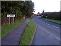
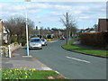
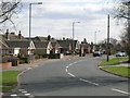
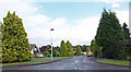

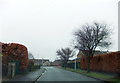
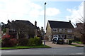
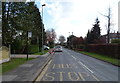
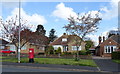
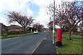


39 photos from this area
Area Information
Key information about the HU10 7EJ including its size, population, and administrative classification.
- Area Type
- Postcode
- Area Size
- 7299 m²
- Population
- 1620
- Population Density
- 729 people/km²
House Prices in HU10 7EJ
14
Properties
£172,938
Average Sold Price
£67,000
Lowest Price
£235,000
Highest Price
Showing 14 properties
| Address | Type | Beds | Baths | Last Sale Price | Last Sale Date | |
|---|---|---|---|---|---|---|
| 136 Tranby Lane, Anlaby, HU10 7EJ | Semi-detached | 3 | 1 | £210,000 | Apr 2020 | |
| 142 Tranby Lane, Anlaby, HU10 7EJ | house | - | - | £179,500 | Jan 2019 | |
| 126 Tranby Lane, Anlaby, HU10 7EJ | house | - | - | £188,000 | Feb 2016 | |
| 124 Tranby Lane, Anlaby, HU10 7EJ | house | 3 | - | £235,000 | Jul 2012 | |
| 130 Tranby Lane, Anlaby, HU10 7EJ | house | 3 | - | £199,000 | Jul 2011 | |
| 134 Tranby Lane, Anlaby, HU10 7EJ | Semi-detached | - | - | £95,000 | May 2011 | |
| 146 Tranby Lane, Anlaby, HU10 7EJ | Detached | - | - | £210,000 | May 2007 | |
| 132 Tranby Lane, Anlaby, HU10 7EJ | Semi-detached | - | - | £67,000 | Oct 1997 | |
| 148 Tranby Lane, Anlaby, HU10 7EJ | Detached | 3 | 1 | - | - | |
| 140 Tranby Lane, Anlaby, HU10 7EJ | Semi-detached | - | - | - | - |
Page 1 of 2
Energy Efficiency in HU10 7EJ
Amenities
Schools
| Rank | School | Type | Entry gender | Ages |
|---|
Explore more schools in this area
Go to Schools tabDemographics
Household Size
Two person
most common
Accommodation Type
Houses
most common
Tenure
92
majority
Ethnic Group
White
most common
Religion
N/A
most common
Household Composition
N/A
most common
Age
47
median
Adults (30-64 years)
most common
Household Deprivation
N/A
with no deprivation
NS-SEC
45
in Lower managerial occupations
Explore more demographic insights in this area
Go to Demographics tabPlanning
Planning Constraints
- Flood RiskPremium
- Ramsar Wetland SitesPremium
- Area of Outstanding Natural BeautyPremium
- Protected Nature ReservePremium
- Protected WoodlandPremium