Area Overview for HU10 7BG
Photos of HU10 7BG
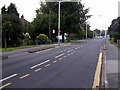
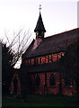
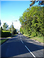
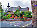
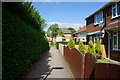
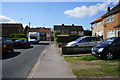
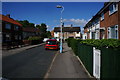
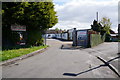
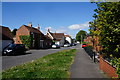
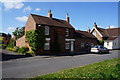
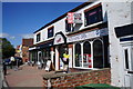
83 photos from this area
Area Information
Key information about the HU10 7BG including its size, population, and administrative classification.
- Area Type
- Postcode
- Area Size
- 3.0 hectares
- Population
- 1620
- Population Density
- 729 people/km²
House Prices in HU10 7BG
20
Properties
£360,750
Average Sold Price
£161,000
Lowest Price
£900,000
Highest Price
Showing 20 properties
| Address | Type | Beds | Baths | Last Sale Price | Last Sale Date | |
|---|---|---|---|---|---|---|
| Mid Oaks, 302 Beverley Road, Anlaby, HU10 7BG | Detached | 5 | 2 | £900,000 | Sep 2022 | |
| 272 Beverley Road, Anlaby, HU10 7BG | house | - | - | £400,000 | Sep 2018 | |
| 274 Beverley Road, Anlaby, HU10 7BG | Semi-detached | - | - | £272,500 | Mar 2006 | |
| 260 Beverley Road, Anlaby, HU10 7BG | Detached | 3 | 1 | £307,000 | Feb 2006 | |
| 306A Beverley Road, Anlaby, HU10 7BG | Detached | - | - | £365,000 | Aug 2004 | |
| 266 Beverley Road, Anlaby, HU10 7BG | Detached | - | - | £299,000 | Jun 2003 | |
| 264 Beverley Road, Anlaby, HU10 7BG | Detached | - | - | £181,500 | Dec 2001 | |
| 312 Beverley Road, Anlaby, HU10 7BG | Detached | 3 | 1 | £161,000 | Nov 1999 | |
| 296 Beverley Road, Anlaby, HU10 7BG | Detached | 3 | 1 | - | - | |
| 262 Beverley Road, Anlaby, HU10 7BG | Detached | 3 | 1 | - | - |
Page 1 of 2
Energy Efficiency in HU10 7BG
Amenities
Schools
| Rank | School | Type | Entry gender | Ages |
|---|
Explore more schools in this area
Go to Schools tabDemographics
Household Size
Two person
most common
Accommodation Type
Houses
most common
Tenure
92
majority
Ethnic Group
White
most common
Religion
N/A
most common
Household Composition
N/A
most common
Age
47
median
Adults (30-64 years)
most common
Household Deprivation
N/A
with no deprivation
NS-SEC
45
in Lower managerial occupations
Explore more demographic insights in this area
Go to Demographics tabPlanning
Planning Constraints
- Flood RiskPremium
- Ramsar Wetland SitesPremium
- Area of Outstanding Natural BeautyPremium
- Protected Nature ReservePremium
- Protected WoodlandPremium