Area Overview for HU10 6QT
Photos of HU10 6QT
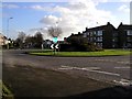
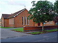
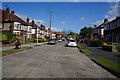

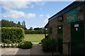
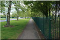
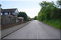
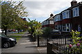
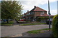
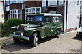
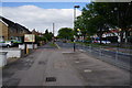
71 photos from this area
Area Information
Key information about the HU10 6QT including its size, population, and administrative classification.
- Area Type
- Postcode
- Area Size
- 4735 m²
- Population
- 1394
- Population Density
- 3979 people/km²
House Prices in HU10 6QT
25
Properties
£103,340
Average Sold Price
£19,000
Lowest Price
£212,000
Highest Price
Showing 25 properties
| Address | Type | Beds | Baths | Last Sale Price | Last Sale Date | |
|---|---|---|---|---|---|---|
| 54 Wolfreton Road, Willerby, HU10 6QT | Terraced | 3 | 1 | £212,000 | Oct 2025 | |
| 121 Wolfreton Road, Willerby, HU10 6QT | Terraced | 2 | 1 | £165,000 | Jan 2025 | |
| 135 Wolfreton Road, Willerby, HU10 6QT | house | - | - | £138,000 | Sep 2021 | |
| 129 Wolfreton Road, Willerby, HU10 6QT | house | - | - | £127,000 | Jul 2020 | |
| 139 Wolfreton Road, Willerby, HU10 6QT | Terraced | 2 | 1 | £145,500 | Dec 2019 | |
| 52 Wolfreton Road, Willerby, HU10 6QT | Terraced | 2 | 1 | £68,000 | Apr 2018 | |
| 141 Wolfreton Road, Willerby, HU10 6QT | Terraced | 2 | - | £105,000 | Sep 2017 | |
| 123 Wolfreton Road, Willerby, HU10 6QT | Terraced | 3 | 1 | £87,000 | May 2015 | |
| 137 Wolfreton Road, Willerby, HU10 6QT | Terraced | 3 | - | £101,000 | Sep 2013 | |
| THE OLD SPRINGHEAD, 44 WOLFRETON ROAD, Anlaby, HU10 6QT | Detached | 4 | - | £180,000 | Jul 2011 |
Page 1 of 3
Energy Efficiency in HU10 6QT
Amenities
Schools
| Rank | School | Type | Entry gender | Ages |
|---|
Explore more schools in this area
Go to Schools tabDemographics
Household Size
Two person
most common
Accommodation Type
Houses
most common
Tenure
81
majority
Ethnic Group
White
most common
Religion
N/A
most common
Household Composition
N/A
most common
Age
47
median
Adults (30-64 years)
most common
Household Deprivation
N/A
with no deprivation
NS-SEC
34
in Lower managerial occupations
Explore more demographic insights in this area
Go to Demographics tabPlanning
Planning Constraints
- Flood RiskPremium
- Ramsar Wetland SitesPremium
- Area of Outstanding Natural BeautyPremium
- Protected Nature ReservePremium
- Protected WoodlandPremium