Area Overview for HU10 6HN
Photos of HU10 6HN
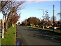
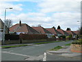
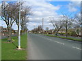
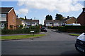
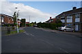
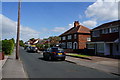
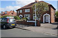
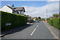
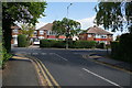
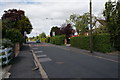
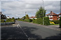
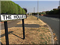
37 photos from this area
Area Information
Key information about the HU10 6HN including its size, population, and administrative classification.
- Area Type
- Postcode
- Area Size
- 1.2 hectares
- Population
- 1380
- Population Density
- 489 people/km²
House Prices in HU10 6HN
23
Properties
£210,425
Average Sold Price
£66,000
Lowest Price
£315,000
Highest Price
Showing 23 properties
| Address | Type | Beds | Baths | Last Sale Price | Last Sale Date | |
|---|---|---|---|---|---|---|
| 12 Ashgate Road, Willerby, HU10 6HN | Semi-detached | 2 | 1 | £280,000 | Jul 2023 | |
| 14 Ashgate Road, Willerby, HU10 6HN | Retail | 2 | 2 | £249,950 | May 2022 | |
| 24 Ashgate Road, Willerby, HU10 6HN | Retail | 2 | 1 | £215,000 | Mar 2022 | |
| 8 Ashgate Road, Willerby, HU10 6HN | house | 5 | - | £315,000 | Jan 2022 | |
| 10 Ashgate Road, Willerby, HU10 6HN | house | - | - | £240,000 | Aug 2021 | |
| 32 Ashgate Road, Willerby, HU10 6HN | Bungalow | 2 | 1 | £220,000 | Jun 2021 | |
| 22 Ashgate Road, Willerby, HU10 6HN | Bungalow | 2 | 1 | £205,000 | Nov 2017 | |
| 28 Ashgate Road, Willerby, HU10 6HN | Bungalow | 2 | - | £230,000 | Jul 2017 | |
| 6 Ashgate Road, Willerby, HU10 6HN | house | - | - | £215,000 | Jun 2015 | |
| 16 Ashgate Road, Willerby, HU10 6HN | Detached | 4 | 1 | £260,000 | May 2015 |
Page 1 of 3
Energy Efficiency in HU10 6HN
Amenities
Schools
| Rank | School | Type | Entry gender | Ages |
|---|
Explore more schools in this area
Go to Schools tabDemographics
Household Size
Two person
most common
Accommodation Type
Houses
most common
Tenure
94
majority
Ethnic Group
White
most common
Religion
N/A
most common
Household Composition
N/A
most common
Age
47
median
Elderly (65+ years)
most common
Household Deprivation
N/A
with no deprivation
NS-SEC
35
in Lower managerial occupations
Explore more demographic insights in this area
Go to Demographics tabPlanning
Planning Constraints
- Flood RiskPremium
- Ramsar Wetland SitesPremium
- Area of Outstanding Natural BeautyPremium
- Protected Nature ReservePremium
- Protected WoodlandPremium