Area Overview for HU10 6DP
Photos of HU10 6DP
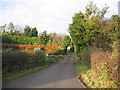
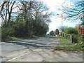
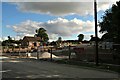

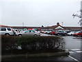
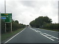
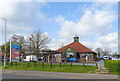
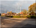
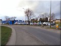
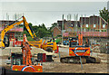
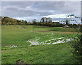
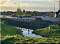
46 photos from this area
Area Information
Key information about the HU10 6DP including its size, population, and administrative classification.
- Area Type
- Postcode
- Area Size
- 1.3 km²
- Population
- 1236
- Population Density
- 67 people/km²
House Prices in HU10 6DP
34
Properties
£382,319
Average Sold Price
£275,000
Lowest Price
£537,500
Highest Price
Showing 34 properties
| Address | Type | Beds | Baths | Last Sale Price | Last Sale Date | |
|---|---|---|---|---|---|---|
| Greenacres, 25 Great Gutter Lane West, Willerby, HU10 6DP | Detached | 3 | - | £537,500 | Jun 2022 | |
| Woodley, 31 Great Gutter Lane West, Willerby, HU10 6DP | Detached | 4 | 1 | £297,000 | Jan 2020 | |
| Westhill Lodge, 15A Great Gutter Lane West, Willerby, HU10 6DP | Detached | 3 | 2 | £499,995 | Jul 2018 | |
| Hollowfield House, 29 Great Gutter Lane West, Willerby, HU10 6DP | Semi-detached | 2 | - | £275,000 | Nov 2014 | |
| Whitegates, Great Gutter Lane West, Willerby, HU10 6DP | Detached | 5 | 4 | £302,098 | Sep 2008 | |
| Patchings, 27 Great Gutter Lane West, Willerby, HU10 6DP | Detached | 3 | 2 | - | - | |
| The Willows, 33 Great Gutter Lane West, Willerby, HU10 6DP | Detached | 5 | 3 | - | - | |
| 21 Great Gutter Lane West, Willerby, HU10 6DP | Detached | 4 | 2 | - | - | |
| Fairview, Great Gutter Lane West, Willerby, HU10 6DP | Detached | 4 | 2 | - | - | |
| 17 Great Gutter Lane West, Willerby, HU10 6DP | Retail | 4 | - | - | - |
Page 1 of 4
Energy Efficiency in HU10 6DP
Amenities
Schools
| Rank | School | Type | Entry gender | Ages |
|---|
Explore more schools in this area
Go to Schools tabDemographics
Household Size
Two person
most common
Accommodation Type
Houses
most common
Tenure
85
majority
Ethnic Group
White
most common
Religion
N/A
most common
Household Composition
N/A
most common
Age
47
median
Adults (30-64 years)
most common
Household Deprivation
N/A
with no deprivation
NS-SEC
39
in Lower managerial occupations
Explore more demographic insights in this area
Go to Demographics tabPlanning
Planning Constraints
- Flood RiskPremium
- Ramsar Wetland SitesPremium
- Area of Outstanding Natural BeautyPremium
- Protected Nature ReservePremium
- Protected WoodlandPremium