Area Overview for HU10 6DH
Photos of HU10 6DH
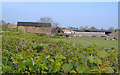
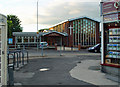
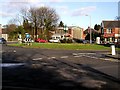
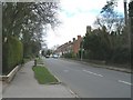
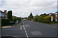
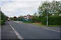
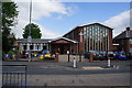
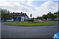
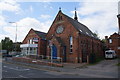
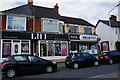
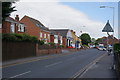
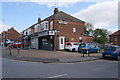
66 photos from this area
Area Information
Key information about the HU10 6DH including its size, population, and administrative classification.
- Area Type
- Postcode
- Area Size
- 2.1 hectares
- Population
- 1442
- Population Density
- 1619 people/km²
House Prices in HU10 6DH
20
Properties
£182,105
Average Sold Price
£77,500
Lowest Price
£352,000
Highest Price
Showing 20 properties
| Address | Type | Beds | Baths | Last Sale Price | Last Sale Date | |
|---|---|---|---|---|---|---|
| 21 Oak Hill, Willerby, HU10 6DH | Detached | 5 | 2 | £325,000 | Dec 2025 | |
| 18 Oak Hill, Willerby, HU10 6DH | house | - | - | £270,000 | Nov 2022 | |
| 12 Oak Hill, Willerby, HU10 6DH | house | - | - | £352,000 | Jun 2021 | |
| 9 Oak Hill, Willerby, HU10 6DH | Detached | 3 | 2 | £283,000 | Sep 2018 | |
| 17 Oak Hill, Willerby, HU10 6DH | Detached | 4 | 2 | £280,000 | Mar 2016 | |
| The Acorns, 1 Oak Hill, Willerby, HU10 6DH | house | 4 | - | £270,000 | Aug 2015 | |
| 3 Oak Hill, Willerby, HU10 6DH | house | - | - | £175,000 | Nov 2008 | |
| Birkdale, 10 Oak Hill, Willerby, HU10 6DH | Detached | - | - | £207,000 | Sep 2006 | |
| 20 Oak Hill, Willerby, HU10 6DH | house | - | - | £307,000 | Apr 2004 | |
| 2 Oak Hill, Willerby, HU10 6DH | Detached | 4 | - | £162,000 | Oct 2003 |
Page 1 of 2
Energy Efficiency in HU10 6DH
Amenities
Schools
| Rank | School | Type | Entry gender | Ages |
|---|
Explore more schools in this area
Go to Schools tabDemographics
Household Size
Two person
most common
Accommodation Type
Houses
most common
Tenure
89
majority
Ethnic Group
White
most common
Religion
N/A
most common
Household Composition
N/A
most common
Age
47
median
Adults (30-64 years)
most common
Household Deprivation
N/A
with no deprivation
NS-SEC
41
in Lower managerial occupations
Explore more demographic insights in this area
Go to Demographics tabPlanning
Planning Constraints
- Flood RiskPremium
- Ramsar Wetland SitesPremium
- Area of Outstanding Natural BeautyPremium
- Protected Nature ReservePremium
- Protected WoodlandPremium