Area Overview for HU10 6AA
Photos of HU10 6AA
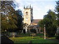
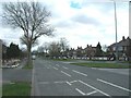
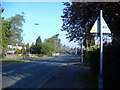
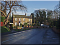
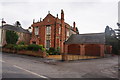
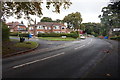
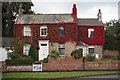
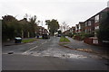
63 photos from this area
Area Information
Key information about the HU10 6AA including its size, population, and administrative classification.
- Area Type
- Postcode
- Area Size
- 1.5 hectares
- Population
- 1481
- Population Density
- 2661 people/km²
House Prices in HU10 6AA
28
Properties
£207,043
Average Sold Price
£38,000
Lowest Price
£320,000
Highest Price
Showing 28 properties
| Address | Type | Beds | Baths | Last Sale Price | Last Sale Date | |
|---|---|---|---|---|---|---|
| 4 Beech Avenue, Willerby, HU10 6AA | Semi-detached | 4 | 1 | £320,000 | Jan 2025 | |
| 15 Beech Avenue, Willerby, HU10 6AA | Semi-detached | 3 | 1 | £245,000 | Sep 2024 | |
| 9 Beech Avenue, Willerby, HU10 6AA | house | - | - | £265,000 | Apr 2024 | |
| 18 Beech Avenue, Willerby, HU10 6AA | Semi-detached | 3 | 1 | £270,000 | Jan 2024 | |
| 6 Beech Avenue, Willerby, HU10 6AA | house | - | - | £298,000 | Mar 2021 | |
| 28 Beech Avenue, Willerby, HU10 6AA | house | - | - | £300,000 | Nov 2020 | |
| 26 Beech Avenue, Willerby, HU10 6AA | Semi-detached | 3 | 1 | £270,000 | Apr 2018 | |
| 2 Beech Avenue, Willerby, HU10 6AA | Semi-detached | 3 | 2 | £265,000 | Oct 2017 | |
| 7 Beech Avenue, Willerby, HU10 6AA | Semi-detached | 4 | 1 | £265,000 | May 2017 | |
| 10 Beech Avenue, Willerby, HU10 6AA | house | - | - | £217,000 | Aug 2013 |
Page 1 of 3
Energy Efficiency in HU10 6AA
Amenities
Schools
| Rank | School | Type | Entry gender | Ages |
|---|
Explore more schools in this area
Go to Schools tabDemographics
Household Size
Two person
most common
Accommodation Type
Houses
most common
Tenure
91
majority
Ethnic Group
White
most common
Religion
N/A
most common
Household Composition
N/A
most common
Age
47
median
Adults (30-64 years)
most common
Household Deprivation
N/A
with no deprivation
NS-SEC
44
in Lower managerial occupations
Explore more demographic insights in this area
Go to Demographics tabPlanning
Planning Constraints
- Flood RiskPremium
- Ramsar Wetland SitesPremium
- Area of Outstanding Natural BeautyPremium
- Protected Nature ReservePremium
- Protected WoodlandPremium