Area Overview for HG4 5BN
Photos of HG4 5BN
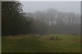
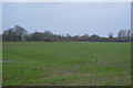
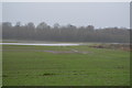
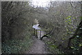
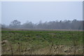
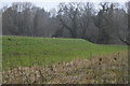
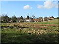
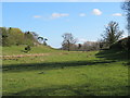
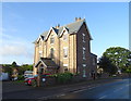
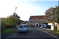
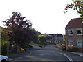
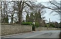
53 photos from this area
Area Information
Key information about the HG4 5BN including its size, population, and administrative classification.
- Area Type
- Postcode
- Area Size
- 18.2 hectares
- Population
- 1610
- Population Density
- 46 people/km²
House Prices in HG4 5BN
24
Properties
£525,923
Average Sold Price
£250,000
Lowest Price
£925,000
Highest Price
Showing 24 properties
| Address | Type | Beds | Baths | Last Sale Price | Last Sale Date | |
|---|---|---|---|---|---|---|
| Courtenay, Sharow Lane, Sharow, HG4 5BN | house | - | - | £765,000 | Sep 2024 | |
| Clarence House, Sharow Lane, Sharow, HG4 5BN | Detached | 5 | 4 | £850,000 | Mar 2023 | |
| Riggwood View, Sharow Lane, Sharow, HG4 5BN | Detached | - | - | £865,000 | Jun 2022 | |
| Greenacres, Sharow Lane, Sharow, HG4 5BN | Detached | 3 | - | £477,000 | Jun 2021 | |
| St Johns House, Sharow Lane, Sharow, HG4 5BN | Semi-detached | 4 | 3 | £925,000 | Apr 2021 | |
| Corner Cottage, Sharow Lane, Sharow, HG4 5BN | house | - | - | £250,000 | Dec 2019 | |
| Silverhow, Sharow Lane, Sharow, HG4 5BN | Bungalow | 3 | 1 | £420,000 | Apr 2017 | |
| The Manor House, Sharow Lane, Sharow, HG4 5BN | Detached | 4 | - | £575,000 | Apr 2017 | |
| Spring Cottage, Sharow Lane, Sharow, HG4 5BN | house | - | - | £415,000 | Jul 2013 | |
| Fair View, Sharow Lane, Sharow, HG4 5BN | house | - | - | £335,000 | Aug 2012 |
Page 1 of 3
Energy Efficiency in HG4 5BN
Amenities
Schools
| Rank | School | Type | Entry gender | Ages |
|---|
Explore more schools in this area
Go to Schools tabDemographics
Household Size
Two person
most common
Accommodation Type
Houses
most common
Tenure
74
majority
Ethnic Group
White
most common
Religion
N/A
most common
Household Composition
N/A
most common
Age
47
median
Adults (30-64 years)
most common
Household Deprivation
N/A
with no deprivation
NS-SEC
43
in Lower managerial occupations
Explore more demographic insights in this area
Go to Demographics tabPlanning
Planning Constraints
- Flood RiskPremium
- Ramsar Wetland SitesPremium
- Area of Outstanding Natural BeautyPremium
- Protected Nature ReservePremium
- Protected WoodlandPremium