Area Overview for HG3 5DG
Photos of HG3 5DG
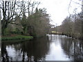
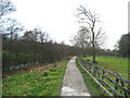
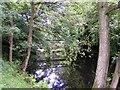
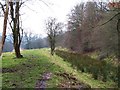
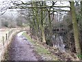
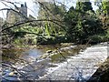
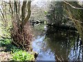
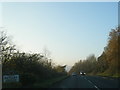
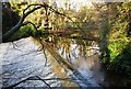
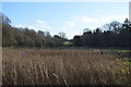
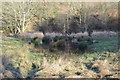
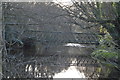
89 photos from this area
Area Information
Key information about the HG3 5DG including its size, population, and administrative classification.
- Area Type
- Postcode
- Area Size
- 11.3 hectares
- Population
- 1550
- Population Density
- 10 people/km²
House Prices in HG3 5DG
9
Properties
£510,375
Average Sold Price
£250,000
Lowest Price
£700,000
Highest Price
Showing 9 properties
| Address | Type | Beds | Baths | Last Sale Price | Last Sale Date | |
|---|---|---|---|---|---|---|
| Glenaire, Ripley Bank, Pateley Bridge, HG3 5DG | Bungalow | 4 | - | £250,000 | Jul 2010 | |
| Stock Field Farm, Ripley Bank, Pateley Bridge, HG3 5DG | Detached | 2 | 4 | £700,000 | Jul 2010 | |
| High Harefield Farm, Ripley Bank, Pateley Bridge, HG3 5DG | Detached | 5 | 2 | £691,500 | Feb 2008 | |
| Padley Fold, Ripley Bank, Pateley Bridge, HG3 5DG | house | - | - | £400,000 | Oct 2007 | |
| High Harefield Cottage, Ripley Bank, Pateley Bridge, HG3 5DG | Cottage | 3 | 2 | - | - | |
| Stock Plain Cottage, Ripley Bank, Pateley Bridge, HG3 5DG | Detached | 4 | 1 | - | - | |
| Harefield Nest, Ripley Bank, Pateley Bridge, HG3 5DG | Detached | - | - | - | - | |
| Annexe, Stock Field Farm, Ripley Bank, Pateley Bridge, HG3 5DG | Flat | - | - | - | - | |
| Ripley Bank Barn, Ripley Bank, Pateley Bridge, HG3 5DG | Detached | - | - | - | - |
Energy Efficiency in HG3 5DG
Amenities
Schools
| Rank | School | Type | Entry gender | Ages |
|---|
Explore more schools in this area
Go to Schools tabDemographics
Household Size
Two person
most common
Accommodation Type
Houses
most common
Tenure
72
majority
Ethnic Group
White
most common
Religion
N/A
most common
Household Composition
N/A
most common
Age
47
median
Adults (30-64 years)
most common
Household Deprivation
N/A
with no deprivation
NS-SEC
40
in Lower managerial occupations
Explore more demographic insights in this area
Go to Demographics tabPlanning
Planning Constraints
- Flood RiskPremium
- Ramsar Wetland SitesPremium
- Area of Outstanding Natural BeautyPremium
- Protected Nature ReservePremium
- Protected WoodlandPremium