Area Overview for HG3 3AY
Photos of HG3 3AY

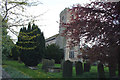
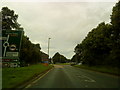
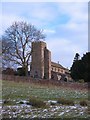
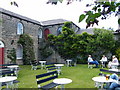
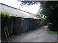
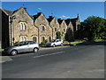

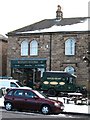
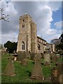

100 photos from this area
Area Information
Key information about the HG3 3AY including its size, population, and administrative classification.
- Area Type
- Postcode
- Area Size
- 50.5 hectares
- Population
- 1314
- Population Density
- 90 people/km²
House Prices in HG3 3AY
25
Properties
£688,150
Average Sold Price
£162,000
Lowest Price
£2,850,000
Highest Price
Showing 25 properties
| Address | Type | Beds | Baths | Last Sale Price | Last Sale Date | |
|---|---|---|---|---|---|---|
| 1, Estate Cottages, Main Street, Ripley, HG3 3AY | house | - | - | £162,000 | Mar 2020 | |
| 2, Estate Cottages, Main Street, Ripley, HG3 3AY | Cottage | 1 | 1 | £175,000 | Feb 2020 | |
| 4, Estate Cottages, Main Street, Ripley, HG3 3AY | house | - | - | £198,000 | Oct 2019 | |
| Oak House, Main Street, Ripley, HG3 3AY | Semi-detached | 4 | 2 | £1,175,000 | Aug 2019 | |
| Vale Lodge, Main Street, Ripley, HG3 3AY | Detached | 5 | 3 | £930,000 | Mar 2017 | |
| 3, Estate Cottages, Main Street, Ripley, HG3 3AY | Cottage | 1 | 1 | £178,000 | Jun 2016 | |
| York House, Main Street, Ripley, HG3 3AY | house | - | - | £2,850,000 | Aug 2011 | |
| The Old Saw Mill, Back Lane, Ripley, HG3 3AY | Land | 4 | - | £520,000 | Apr 2004 | |
| Vale Lodge Stables, Back Lane, Ripley, HG3 3AY | Detached | - | - | £390,000 | Feb 2003 | |
| Dacre House, Main Street, Ripley, HG3 3AY | Terraced | - | - | £303,500 | Jun 2001 |
Page 1 of 3
Energy Efficiency in HG3 3AY
Amenities
Schools
| Rank | School | Type | Entry gender | Ages |
|---|
Explore more schools in this area
Go to Schools tabDemographics
Household Size
Two person
most common
Accommodation Type
Houses
most common
Tenure
77
majority
Ethnic Group
White
most common
Religion
N/A
most common
Household Composition
N/A
most common
Age
47
median
Adults (30-64 years)
most common
Household Deprivation
N/A
with no deprivation
NS-SEC
44
in Lower managerial occupations
Explore more demographic insights in this area
Go to Demographics tabPlanning
Planning Constraints
- Flood RiskPremium
- Ramsar Wetland SitesPremium
- Area of Outstanding Natural BeautyPremium
- Protected Nature ReservePremium
- Protected WoodlandPremium