Area Overview for HG3 2DT
Photos of HG3 2DT
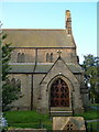
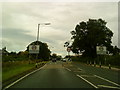
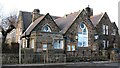
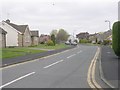
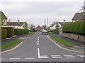
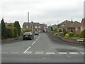
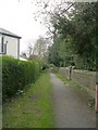
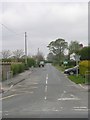
83 photos from this area
Area Information
Key information about the HG3 2DT including its size, population, and administrative classification.
- Area Type
- Postcode
- Area Size
- 8740 m²
- Population
- 1314
- Population Density
- 90 people/km²
House Prices in HG3 2DT
8
Properties
£308,250
Average Sold Price
£80,000
Lowest Price
£456,000
Highest Price
Showing 8 properties
| Address | Type | Beds | Baths | Last Sale Price | Last Sale Date | |
|---|---|---|---|---|---|---|
| Southcote, 2 Church Close, Killinghall, HG3 2DT | house | 2 | 2 | £456,000 | Oct 2024 | |
| Cramond, 6 Church Close, Killinghall, HG3 2DT | Detached | 4 | 1 | £401,500 | Jun 2021 | |
| 1 Church Close, Killinghall, HG3 2DT | Semi-detached | 3 | - | £295,000 | Aug 2018 | |
| 3 Church Close, Killinghall, HG3 2DT | Semi-detached | 4 | 3 | £340,000 | Aug 2017 | |
| 7 Church Close, Killinghall, HG3 2DT | Semi-detached | 5 | 2 | £277,000 | Aug 2007 | |
| Moorthorp, 4 Church Close, Killinghall, HG3 2DT | Detached | - | - | £80,000 | Oct 1995 | |
| 5 Church Close, Killinghall, HG3 2DT | Semi-detached | 3 | 1 | - | - | |
| 9 Church Close, Killinghall, HG3 2DT | Detached | - | - | - | - |
Energy Efficiency in HG3 2DT
Amenities
Schools
| Rank | School | Type | Entry gender | Ages |
|---|
Explore more schools in this area
Go to Schools tabDemographics
Household Size
Two person
most common
Accommodation Type
Houses
most common
Tenure
77
majority
Ethnic Group
White
most common
Religion
N/A
most common
Household Composition
N/A
most common
Age
47
median
Adults (30-64 years)
most common
Household Deprivation
N/A
with no deprivation
NS-SEC
44
in Lower managerial occupations
Explore more demographic insights in this area
Go to Demographics tabPlanning
Planning Constraints
- Flood RiskPremium
- Ramsar Wetland SitesPremium
- Area of Outstanding Natural BeautyPremium
- Protected Nature ReservePremium
- Protected WoodlandPremium