Area Overview for HG2 8DB
Photos of HG2 8DB
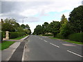
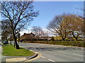
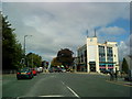
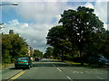
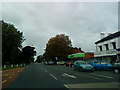
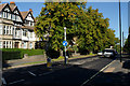
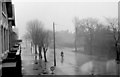
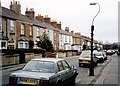
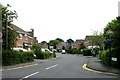
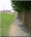
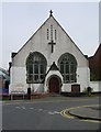
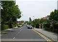
100 photos from this area
Area Information
Key information about the HG2 8DB including its size, population, and administrative classification.
- Area Type
- Postcode
- Area Size
- 1.1 hectares
- Population
- 1452
- Population Density
- 4969 people/km²
House Prices in HG2 8DB
14
Properties
£684,800
Average Sold Price
£375,000
Lowest Price
£919,000
Highest Price
Showing 14 properties
| Address | Type | Beds | Baths | Last Sale Price | Last Sale Date | |
|---|---|---|---|---|---|---|
| 9 Kenilworth Avenue, Harrogate, HG2 8DB | Detached | - | - | £919,000 | Mar 2019 | |
| 12 Kenilworth Avenue, Harrogate, HG2 8DB | house | - | - | £815,000 | Sep 2016 | |
| The White House, 5 Kenilworth Avenue, Harrogate, HG2 8DB | house | 4 | 2 | £665,000 | Feb 2013 | |
| 14 Kenilworth Avenue, Harrogate, HG2 8DB | house | - | - | £650,000 | May 2010 | |
| 18 Kenilworth Avenue, Harrogate, HG2 8DB | Detached | - | - | £375,000 | Jan 2002 | |
| 4 Kenilworth Avenue, Harrogate, HG2 8DB | Detached | 4 | 2 | - | - | |
| Flat 1, 7 Kenilworth Avenue, Harrogate, HG2 8DB | Flat | - | - | - | - | |
| 8 Kenilworth Avenue, Harrogate, HG2 8DB | Detached | - | - | - | - | |
| Flat 2, 7 Kenilworth Avenue, Harrogate, HG2 8DB | Flat | - | - | - | - | |
| 4A Kenilworth Avenue, Harrogate, HG2 8DB | Detached | - | - | - | - |
Page 1 of 2
Energy Efficiency in HG2 8DB
Amenities
Schools
| Rank | School | Type | Entry gender | Ages |
|---|
Explore more schools in this area
Go to Schools tabDemographics
Household Size
One person
most common
Accommodation Type
Houses
most common
Tenure
69
majority
Ethnic Group
White
most common
Religion
N/A
most common
Household Composition
N/A
most common
Age
47
median
Adults (30-64 years)
most common
Household Deprivation
N/A
with no deprivation
NS-SEC
52
in Lower managerial occupations
Explore more demographic insights in this area
Go to Demographics tabPlanning
Planning Constraints
- Flood RiskPremium
- Ramsar Wetland SitesPremium
- Area of Outstanding Natural BeautyPremium
- Protected Nature ReservePremium
- Protected WoodlandPremium