Area Overview for HG2 7LT
Photos of HG2 7LT
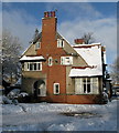
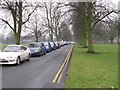
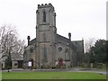
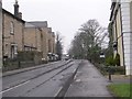
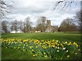
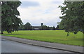
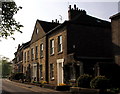
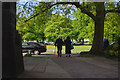
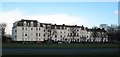
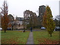
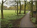
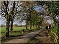
99 photos from this area
Area Information
Key information about the HG2 7LT including its size, population, and administrative classification.
- Area Type
- Postcode
- Area Size
- 2527 m²
- Population
- 2144
- Population Density
- 2089 people/km²
House Prices in HG2 7LT
7
Properties
£149,750
Average Sold Price
£143,000
Lowest Price
£156,500
Highest Price
Showing 7 properties
| Address | Type | Beds | Baths | Last Sale Price | Last Sale Date | |
|---|---|---|---|---|---|---|
| 63A Knaresborough Road, Harrogate, HG2 7LT | Flat | - | - | £156,500 | Mar 2021 | |
| 61A Knaresborough Road, Harrogate, HG2 7LT | Flat | - | - | £143,000 | Sep 2016 | |
| 55A Knaresborough Road, Harrogate, HG2 7LT | Flat | - | - | - | - | |
| Flat, 59 Knaresborough Road, Harrogate, HG2 7LT | Flat | 2 | 2 | - | - | |
| First Floor Flat, 65 Knaresborough Road, Harrogate, HG2 7LT | Flat | - | - | - | - | |
| The Harrogate Kitchen Studio, 61-63 Knaresborough Road, Harrogate, HG2 7LT | retail_financial | - | - | - | - | |
| The Flat, 57 Knaresborough Road, Harrogate, HG2 7LT | Flat | - | - | - | - |
Energy Efficiency in HG2 7LT
Amenities
Schools
| Rank | School | Type | Entry gender | Ages |
|---|
Explore more schools in this area
Go to Schools tabDemographics
Household Size
Two person
most common
Accommodation Type
Houses
most common
Tenure
63
majority
Ethnic Group
White
most common
Religion
N/A
most common
Household Composition
N/A
most common
Age
47
median
Adults (30-64 years)
most common
Household Deprivation
N/A
with no deprivation
NS-SEC
40
in Lower managerial occupations
Explore more demographic insights in this area
Go to Demographics tabPlanning
Planning Constraints
- Flood RiskPremium
- Ramsar Wetland SitesPremium
- Area of Outstanding Natural BeautyPremium
- Protected Nature ReservePremium
- Protected WoodlandPremium