Area Overview for HG2 7LA
Photos of HG2 7LA
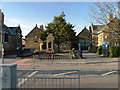
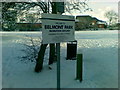
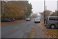
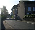
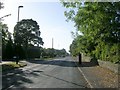
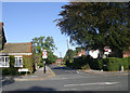
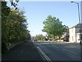
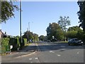
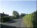
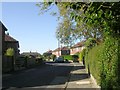
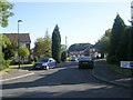
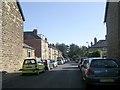
91 photos from this area
Area Information
Key information about the HG2 7LA including its size, population, and administrative classification.
- Area Type
- Postcode
- Area Size
- 2.1 hectares
- Population
- 1323
- Population Density
- 3990 people/km²
House Prices in HG2 7LA
30
Properties
£184,608
Average Sold Price
£59,750
Lowest Price
£275,000
Highest Price
Showing 30 properties
| Address | Type | Beds | Baths | Last Sale Price | Last Sale Date | |
|---|---|---|---|---|---|---|
| 18 Wentworth Drive, Harrogate, HG2 7LA | Bungalow | 2 | 1 | £268,000 | Dec 2025 | |
| 8 Wentworth Drive, Harrogate, HG2 7LA | Bungalow | 2 | 1 | £275,000 | Feb 2025 | |
| 22 Wentworth Drive, Harrogate, HG2 7LA | Semi-detached | 3 | 1 | £248,000 | Apr 2024 | |
| 2A Wentworth Drive, Harrogate, HG2 7LA | Flat | - | - | £169,950 | Aug 2021 | |
| 4 Wentworth Drive, Harrogate, HG2 7LA | Semi-detached | 3 | 1 | £241,500 | May 2020 | |
| 32 Wentworth Drive, Harrogate, HG2 7LA | Semi-detached | 3 | 1 | £200,000 | Mar 2020 | |
| 7 Wentworth Drive, Harrogate, HG2 7LA | Semi-detached | 3 | - | £203,000 | May 2018 | |
| 3 Wentworth Drive, Harrogate, HG2 7LA | house | - | - | £248,000 | Mar 2018 | |
| 13 Wentworth Drive, Harrogate, HG2 7LA | house | - | - | £170,000 | Sep 2016 | |
| 24 Wentworth Drive, Harrogate, HG2 7LA | Semi-detached | 3 | - | £207,500 | Sep 2016 |
Page 1 of 3
Energy Efficiency in HG2 7LA
Amenities
Schools
| Rank | School | Type | Entry gender | Ages |
|---|
Explore more schools in this area
Go to Schools tabDemographics
Household Size
Two person
most common
Accommodation Type
Houses
most common
Tenure
84
majority
Ethnic Group
White
most common
Religion
N/A
most common
Household Composition
N/A
most common
Age
47
median
Adults (30-64 years)
most common
Household Deprivation
N/A
with no deprivation
NS-SEC
31
in Lower managerial occupations
Explore more demographic insights in this area
Go to Demographics tabPlanning
Planning Constraints
- Flood RiskPremium
- Ramsar Wetland SitesPremium
- Area of Outstanding Natural BeautyPremium
- Protected Nature ReservePremium
- Protected WoodlandPremium