Area Overview for HG2 0LS
Photos of HG2 0LS
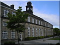
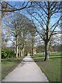
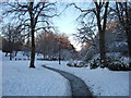
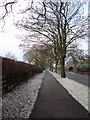
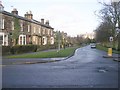
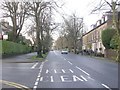
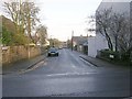
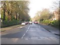
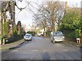
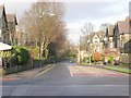
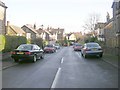
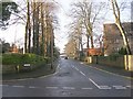
100 photos from this area
Area Information
Key information about the HG2 0LS including its size, population, and administrative classification.
- Area Type
- Postcode
- Area Size
- 2.1 hectares
- Population
- 1286
- Population Density
- 8881 people/km²
House Prices in HG2 0LS
36
Properties
£337,913
Average Sold Price
£55,000
Lowest Price
£580,000
Highest Price
Showing 36 properties
| Address | Type | Beds | Baths | Last Sale Price | Last Sale Date | |
|---|---|---|---|---|---|---|
| 34 St Marys Walk, Harrogate, HG2 0LS | Character Property | 3 | 2 | £500,000 | Aug 2025 | |
| 57 St Marys Walk, Harrogate, HG2 0LS | Semi-detached | 3 | 3 | £580,000 | Feb 2024 | |
| 49 St Marys Walk, Harrogate, HG2 0LS | Semi-detached | 4 | 2 | £410,000 | Sep 2022 | |
| 55 St Marys Walk, Harrogate, HG2 0LS | house | - | - | £465,000 | May 2021 | |
| 69 St Marys Walk, Harrogate, HG2 0LS | house | - | - | £449,500 | Mar 2021 | |
| 28 St Marys Walk, Harrogate, HG2 0LS | house | - | - | £460,000 | Jan 2017 | |
| 30 St Marys Walk, Harrogate, HG2 0LS | Semi-detached | 3 | - | £355,000 | Sep 2015 | |
| 33 St Marys Walk, Harrogate, HG2 0LS | house | 4 | - | £420,000 | Jan 2015 | |
| 59 St Marys Walk, Harrogate, HG2 0LS | Bungalow | - | - | £400,000 | May 2014 | |
| 29 St Marys Walk, Harrogate, HG2 0LS | Terraced | 4 | - | £409,000 | Aug 2012 |
Page 1 of 4
Energy Efficiency in HG2 0LS
Amenities
Schools
| Rank | School | Type | Entry gender | Ages |
|---|
Explore more schools in this area
Go to Schools tabDemographics
Household Size
One person
most common
Accommodation Type
Flats
most common
Tenure
45
majority
Ethnic Group
White
most common
Religion
N/A
most common
Household Composition
N/A
most common
Age
47
median
Adults (30-64 years)
most common
Household Deprivation
N/A
with no deprivation
NS-SEC
49
in Lower managerial occupations
Explore more demographic insights in this area
Go to Demographics tabPlanning
Planning Constraints
- Flood RiskPremium
- Ramsar Wetland SitesPremium
- Area of Outstanding Natural BeautyPremium
- Protected Nature ReservePremium
- Protected WoodlandPremium