Area Overview for HD9 7FB
Photos of HD9 7FB

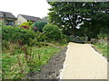
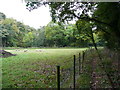
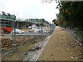
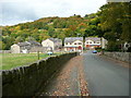
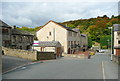
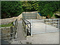
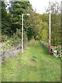
50 photos from this area
Area Information
Key information about the HD9 7FB including its size, population, and administrative classification.
- Area Type
- Postcode
- Area Size
- 3.2 hectares
- Population
- 1857
- Population Density
- 340 people/km²
House Prices in HD9 7FB
43
Properties
£369,635
Average Sold Price
£172,900
Lowest Price
£475,000
Highest Price
Showing 43 properties
| Address | Type | Beds | Baths | Last Sale Price | Last Sale Date | |
|---|---|---|---|---|---|---|
| 16 Weavers Mill Way, New Mill, Holmfirth, HD9 7FB | house | - | - | £475,000 | Sep 2025 | |
| 6 Weavers Mill Way, New Mill, Holmfirth, HD9 7FB | Detached | 4 | 2 | £410,000 | May 2024 | |
| 47 Weavers Mill Way, New Mill, Holmfirth, HD9 7FB | Retail | 4 | 2 | £404,000 | Apr 2023 | |
| 21 Weavers Mill Way, New Mill, Holmfirth, HD9 7FB | Retail | 4 | 2 | £430,000 | Dec 2022 | |
| 25 Weavers Mill Way, New Mill, Holmfirth, HD9 7FB | house | - | - | £431,000 | Sep 2022 | |
| 12 Weavers Mill Way, New Mill, Holmfirth, HD9 7FB | Detached | 4 | 2 | £350,000 | May 2022 | |
| 35 Weavers Mill Way, New Mill, Holmfirth, HD9 7FB | house | - | - | £172,900 | Jun 2021 | |
| 23 Weavers Mill Way, New Mill, Holmfirth, HD9 7FB | house | - | - | £377,500 | May 2021 | |
| 27 Weavers Mill Way, New Mill, Holmfirth, HD9 7FB | Detached | 4 | - | £380,000 | Nov 2020 | |
| 2B Weavers Mill Way, New Mill, Holmfirth, HD9 7FB | house | - | - | £394,995 | Oct 2018 |
Page 1 of 5
Energy Efficiency in HD9 7FB
Amenities
Schools
| Rank | School | Type | Entry gender | Ages |
|---|
Explore more schools in this area
Go to Schools tabDemographics
Household Size
Two person
most common
Accommodation Type
Houses
most common
Tenure
87
majority
Ethnic Group
White
most common
Religion
N/A
most common
Household Composition
N/A
most common
Age
47
median
Adults (30-64 years)
most common
Household Deprivation
N/A
with no deprivation
NS-SEC
47
in Lower managerial occupations
Explore more demographic insights in this area
Go to Demographics tabPlanning
Planning Constraints
- Flood RiskPremium
- Ramsar Wetland SitesPremium
- Area of Outstanding Natural BeautyPremium
- Protected Nature ReservePremium
- Protected WoodlandPremium