Area Overview for HD9 7AZ
Photos of HD9 7AZ
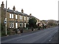
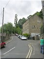
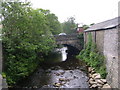


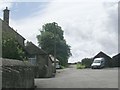

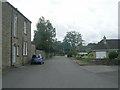
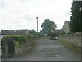
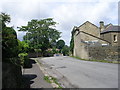
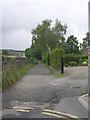
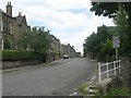
53 photos from this area
Area Information
Key information about the HD9 7AZ including its size, population, and administrative classification.
- Area Type
- Postcode
- Area Size
- 2.2 hectares
- Population
- 1407
- Population Density
- 489 people/km²
House Prices in HD9 7AZ
43
Properties
£130,188
Average Sold Price
£50,000
Lowest Price
£260,000
Highest Price
Showing 43 properties
| Address | Type | Beds | Baths | Last Sale Price | Last Sale Date | |
|---|---|---|---|---|---|---|
| 144 New Mill Road, Brockholes, Holmfirth, HD9 7AZ | Semi-detached | 4 | 2 | £260,000 | Dec 2020 | |
| 90, Cliff Wood Terrace, New Mill Road, Brockholes, Holmfirth, HD9 7AZ | Maisonette | 2 | - | £129,000 | Nov 2020 | |
| 92, Cliff Wood Terrace, New Mill Road, Brockholes, Holmfirth, HD9 7AZ | Terraced | 3 | 1 | £120,000 | Jul 2020 | |
| 150 New Mill Road, Brockholes, Holmfirth, HD9 7AZ | Bungalow | 2 | 1 | £145,000 | Feb 2019 | |
| 146 New Mill Road, Brockholes, Holmfirth, HD9 7AZ | Detached | 3 | - | £255,000 | May 2017 | |
| 148 New Mill Road, Brockholes, Holmfirth, HD9 7AZ | Semi-detached | 2 | 1 | £149,000 | Feb 2017 | |
| 154 New Mill Road, Brockholes, Holmfirth, HD9 7AZ | house | - | - | £140,000 | Apr 2011 | |
| 96, Cliff Wood Terrace, New Mill Road, Brockholes, Holmfirth, HD9 7AZ | Terraced | - | - | £73,685 | Nov 2008 | |
| 134 New Mill Road, Brockholes, Holmfirth, HD9 7AZ | Detached | 4 | 2 | £137,000 | Oct 2004 | |
| 162 New Mill Road, Brockholes, Holmfirth, HD9 7AZ | Semi-detached | - | - | £122,950 | Jan 2003 |
Page 1 of 5
Energy Efficiency in HD9 7AZ
Amenities
Schools
| Rank | School | Type | Entry gender | Ages |
|---|
Explore more schools in this area
Go to Schools tabDemographics
Household Size
Two person
most common
Accommodation Type
Houses
most common
Tenure
87
majority
Ethnic Group
White
most common
Religion
N/A
most common
Household Composition
N/A
most common
Age
47
median
Adults (30-64 years)
most common
Household Deprivation
N/A
with no deprivation
NS-SEC
50
in Lower managerial occupations
Explore more demographic insights in this area
Go to Demographics tabPlanning
Planning Constraints
- Flood RiskPremium
- Ramsar Wetland SitesPremium
- Area of Outstanding Natural BeautyPremium
- Protected Nature ReservePremium
- Protected WoodlandPremium