Area Overview for HD9 6ER
Photos of HD9 6ER
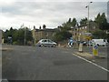
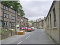
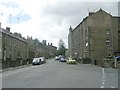
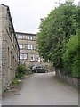
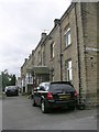
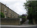

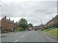
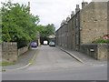

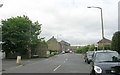
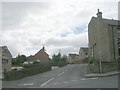
100 photos from this area
Area Information
Key information about the HD9 6ER including its size, population, and administrative classification.
- Area Type
- Postcode
- Area Size
- 1.3 hectares
- Population
- 1210
- Population Density
- 2797 people/km²
House Prices in HD9 6ER
31
Properties
£158,460
Average Sold Price
£31,750
Lowest Price
£290,000
Highest Price
Showing 31 properties
| Address | Type | Beds | Baths | Last Sale Price | Last Sale Date | |
|---|---|---|---|---|---|---|
| 33 Moorside Road, Honley, Holmfirth, HD9 6ER | Semi-detached | 4 | 1 | £290,000 | Dec 2023 | |
| 38 Moorside Road, Honley, Holmfirth, HD9 6ER | house | - | - | £260,800 | Sep 2021 | |
| 26 Moorside Road, Honley, Holmfirth, HD9 6ER | Semi-detached | 4 | - | £280,000 | Aug 2021 | |
| 48 Moorside Road, Honley, Holmfirth, HD9 6ER | Semi-detached | 4 | 2 | £255,000 | Jun 2021 | |
| 57 Moorside Road, Honley, Holmfirth, HD9 6ER | house | 4 | 3 | £275,000 | Jan 2019 | |
| 53 Moorside Road, Honley, Holmfirth, HD9 6ER | Semi-detached | 4 | 1 | £189,450 | Aug 2014 | |
| 29 Moorside Road, Honley, Holmfirth, HD9 6ER | Semi-detached | 4 | - | £200,000 | Jun 2014 | |
| 34 Moorside Road, Honley, Holmfirth, HD9 6ER | house | - | - | £175,000 | May 2012 | |
| 32 Moorside Road, Honley, Holmfirth, HD9 6ER | house | - | - | £195,000 | Jan 2012 | |
| 36 Moorside Road, Honley, Holmfirth, HD9 6ER | Semi-detached | - | - | £192,000 | Oct 2007 |
Page 1 of 4
Energy Efficiency in HD9 6ER
Amenities
Schools
| Rank | School | Type | Entry gender | Ages |
|---|
Explore more schools in this area
Go to Schools tabDemographics
Household Size
Two person
most common
Accommodation Type
Houses
most common
Tenure
90
majority
Ethnic Group
White
most common
Religion
N/A
most common
Household Composition
N/A
most common
Age
47
median
Adults (30-64 years)
most common
Household Deprivation
N/A
with no deprivation
NS-SEC
43
in Lower managerial occupations
Explore more demographic insights in this area
Go to Demographics tabPlanning
Planning Constraints
- Flood RiskPremium
- Ramsar Wetland SitesPremium
- Area of Outstanding Natural BeautyPremium
- Protected Nature ReservePremium
- Protected WoodlandPremium