Area Overview for HD9 5JL
Photos of HD9 5JL


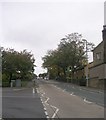

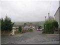
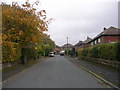
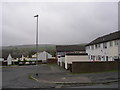
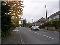
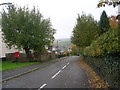
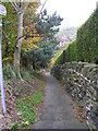
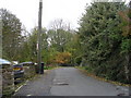
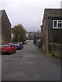
100 photos from this area
Area Information
Key information about the HD9 5JL including its size, population, and administrative classification.
- Area Type
- Postcode
- Area Size
- 2.0 hectares
- Population
- 1631
- Population Density
- 1061 people/km²
House Prices in HD9 5JL
35
Properties
£247,883
Average Sold Price
£45,000
Lowest Price
£535,000
Highest Price
Showing 35 properties
| Address | Type | Beds | Baths | Last Sale Price | Last Sale Date | |
|---|---|---|---|---|---|---|
| 54 Colders Lane, Meltham, Holmfirth, HD9 5JL | Cottage | 3 | 1 | £265,000 | Jul 2024 | |
| 64 Colders Lane, Meltham, Holmfirth, HD9 5JL | Detached | 5 | 1 | £460,000 | Apr 2024 | |
| 55 Colders Lane, Meltham, Holmfirth, HD9 5JL | Bungalow | 4 | 1 | £450,000 | Sep 2023 | |
| 80 Colders Lane, Meltham, Holmfirth, HD9 5JL | Detached | 4 | 2 | £535,000 | Aug 2022 | |
| 76 Colders Lane, Meltham, Holmfirth, HD9 5JL | Semi-detached | 2 | 1 | £203,437 | Jul 2022 | |
| 39 Colders Lane, Meltham, Holmfirth, HD9 5JL | Semi-detached | 3 | 2 | £250,000 | Feb 2022 | |
| 66 Colders Lane, Meltham, Holmfirth, HD9 5JL | house | - | - | £275,000 | Jan 2022 | |
| 56 Colders Lane, Meltham, Holmfirth, HD9 5JL | Cottage | 2 | 1 | £116,000 | Sep 2019 | |
| Holbrook House, 41 Colders Lane, Meltham, Holmfirth, HD9 5JL | house | 5 | - | £485,000 | Nov 2018 | |
| Ings House, 47 Colders Lane, Meltham, Holmfirth, HD9 5JL | Detached | 4 | 2 | £390,000 | Aug 2018 |
Page 1 of 4
Energy Efficiency in HD9 5JL
Amenities
Schools
| Rank | School | Type | Entry gender | Ages |
|---|
Explore more schools in this area
Go to Schools tabDemographics
Household Size
Two person
most common
Accommodation Type
Houses
most common
Tenure
86
majority
Ethnic Group
White
most common
Religion
N/A
most common
Household Composition
N/A
most common
Age
47
median
Adults (30-64 years)
most common
Household Deprivation
N/A
with no deprivation
NS-SEC
40
in Lower managerial occupations
Explore more demographic insights in this area
Go to Demographics tabPlanning
Planning Constraints
- Flood RiskPremium
- Ramsar Wetland SitesPremium
- Area of Outstanding Natural BeautyPremium
- Protected Nature ReservePremium
- Protected WoodlandPremium