Area Overview for HD9 3JS
Photos of HD9 3JS
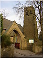
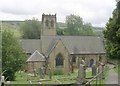
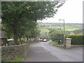
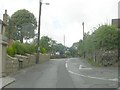
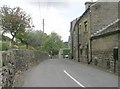

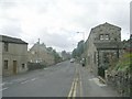
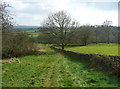
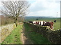
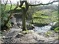
48 photos from this area
Area Information
Key information about the HD9 3JS including its size, population, and administrative classification.
- Area Type
- Postcode
- Area Size
- 3.8 hectares
- Population
- 1647
- Population Density
- 1209 people/km²
House Prices in HD9 3JS
46
Properties
£366,766
Average Sold Price
£98,000
Lowest Price
£826,500
Highest Price
Showing 46 properties
| Address | Type | Beds | Baths | Last Sale Price | Last Sale Date | |
|---|---|---|---|---|---|---|
| 21 Broad Lane, Upperthong, Holmfirth, HD9 3JS | Detached | 5 | 3 | £640,000 | May 2024 | |
| Valley View, 37 Broad Lane, Upperthong, Holmfirth, HD9 3JS | Detached | 4 | 2 | £538,000 | Aug 2022 | |
| Langdale, 8 Broad Lane, Upperthong, Holmfirth, HD9 3JS | house | - | - | £272,000 | Sep 2021 | |
| The Barn, 40 Broad Lane, Upperthong, Holmfirth, HD9 3JS | Detached | 3 | 3 | £369,950 | Sep 2021 | |
| The Farmhouse, 38 Broad Lane, Upperthong, Holmfirth, HD9 3JS | house | - | - | £365,000 | Jun 2021 | |
| The Mistal, 42 Broad Lane, Upperthong, Holmfirth, HD9 3JS | house | - | - | £399,950 | Jun 2021 | |
| Sycamore House, 36 Broad Lane, Upperthong, Holmfirth, HD9 3JS | Detached | 5 | 4 | £610,000 | Mar 2021 | |
| Ashgrove Barn, Broad Lane, Upperthong, Holmfirth, HD9 3JS | house | - | - | £420,000 | Dec 2020 | |
| 18 Broad Lane, Upperthong, Holmfirth, HD9 3JS | Bungalow | 2 | 2 | £275,000 | Jan 2020 | |
| Valley View House, 34 Broad Lane, Upperthong, Holmfirth, HD9 3JS | Detached | 5 | 4 | £585,000 | Dec 2019 |
Page 1 of 5
Energy Efficiency in HD9 3JS
Amenities
Schools
| Rank | School | Type | Entry gender | Ages |
|---|
Explore more schools in this area
Go to Schools tabDemographics
Household Size
Two person
most common
Accommodation Type
Houses
most common
Tenure
77
majority
Ethnic Group
White
most common
Religion
N/A
most common
Household Composition
N/A
most common
Age
47
median
Adults (30-64 years)
most common
Household Deprivation
N/A
with no deprivation
NS-SEC
40
in Lower managerial occupations
Explore more demographic insights in this area
Go to Demographics tabPlanning
Planning Constraints
- Flood RiskPremium
- Ramsar Wetland SitesPremium
- Area of Outstanding Natural BeautyPremium
- Protected Nature ReservePremium
- Protected WoodlandPremium