Area Overview for HD9 3EA
Photos of HD9 3EA
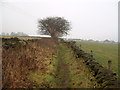
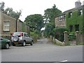
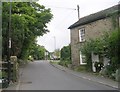
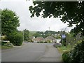
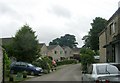
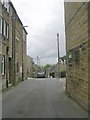
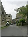
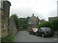
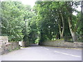
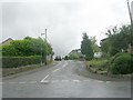
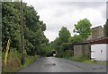
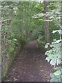
93 photos from this area
Area Information
Key information about the HD9 3EA including its size, population, and administrative classification.
- Area Type
- Postcode
- Area Size
- 4251 m²
- Population
- 1813
- Population Density
- 943 people/km²
House Prices in HD9 3EA
12
Properties
£100,770
Average Sold Price
£25,500
Lowest Price
£300,000
Highest Price
Showing 12 properties
| Address | Type | Beds | Baths | Last Sale Price | Last Sale Date | |
|---|---|---|---|---|---|---|
| 118 Church Street, Netherthong, Holmfirth, HD9 3EA | Terraced | 1 | 1 | £145,000 | Aug 2025 | |
| 114 Church Street, Netherthong, Holmfirth, HD9 3EA | Cottage | 4 | 2 | £300,000 | Jan 2014 | |
| 116 Church Street, Netherthong, Holmfirth, HD9 3EA | house | - | - | £42,121 | Jan 2002 | |
| 120 Church Street, Netherthong, Holmfirth, HD9 3EA | Terraced | 1 | 1 | £28,000 | May 2001 | |
| 122 Church Street, Netherthong, Holmfirth, HD9 3EA | house | 2 | - | £25,500 | Aug 1998 | |
| 110 Church Street, Netherthong, Holmfirth, HD9 3EA | Semi-detached | 2 | 1 | £64,000 | Mar 1998 | |
| 116A Church Street, Netherthong, Holmfirth, HD9 3EA | Cottage | 2 | 2 | - | - | |
| Holmleigh Cottage, 143 Church Street, Netherthong, Holmfirth, HD9 3EA | Semi-detached | 7 | 6 | - | - | |
| Netherleigh, 145 Church Street, Netherthong, Holmfirth, HD9 3EA | house | 5 | 3 | - | - | |
| 112 Church Street, Netherthong, Holmfirth, HD9 3EA | Detached | 3 | 2 | - | - |
Page 1 of 2
Energy Efficiency in HD9 3EA
Amenities
Schools
| Rank | School | Type | Entry gender | Ages |
|---|
Explore more schools in this area
Go to Schools tabDemographics
Household Size
Two person
most common
Accommodation Type
Houses
most common
Tenure
83
majority
Ethnic Group
White
most common
Religion
N/A
most common
Household Composition
N/A
most common
Age
47
median
Adults (30-64 years)
most common
Household Deprivation
N/A
with no deprivation
NS-SEC
46
in Lower managerial occupations
Explore more demographic insights in this area
Go to Demographics tabPlanning
Planning Constraints
- Flood RiskPremium
- Ramsar Wetland SitesPremium
- Area of Outstanding Natural BeautyPremium
- Protected Nature ReservePremium
- Protected WoodlandPremium