Area Overview for HD9 2SH
Photos of HD9 2SH
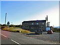
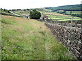
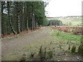
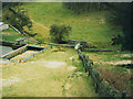
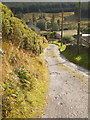
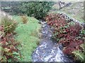
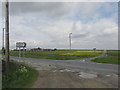
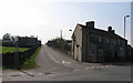
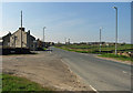
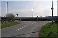
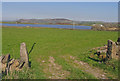
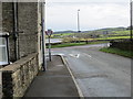
51 photos from this area
Area Information
Key information about the HD9 2SH including its size, population, and administrative classification.
- Area Type
- Postcode
- Area Size
- 2.9 hectares
- Population
- 2254
- Population Density
- 181 people/km²
House Prices in HD9 2SH
32
Properties
£258,736
Average Sold Price
£92,000
Lowest Price
£484,000
Highest Price
Showing 32 properties
| Address | Type | Beds | Baths | Last Sale Price | Last Sale Date | |
|---|---|---|---|---|---|---|
| 7 Green Abbey, Hade Edge, Holmfirth, HD9 2SH | house | 4 | 2 | £340,000 | Aug 2024 | |
| 3 Green Abbey, Hade Edge, Holmfirth, HD9 2SH | Terraced | 4 | 2 | £278,000 | Feb 2023 | |
| 27A Green Abbey, Hade Edge, Holmfirth, HD9 2SH | house | - | - | £430,000 | Aug 2022 | |
| 35 Green Abbey, Hade Edge, Holmfirth, HD9 2SH | Detached | 5 | 2 | £475,000 | Dec 2020 | |
| 23A Green Abbey, Hade Edge, Holmfirth, HD9 2SH | Detached | 5 | 1 | £345,000 | Feb 2020 | |
| 31 Green Abbey, Hade Edge, Holmfirth, HD9 2SH | Detached | 5 | - | £484,000 | Dec 2018 | |
| 5 Green Abbey, Hade Edge, Holmfirth, HD9 2SH | house | 4 | - | £246,000 | Jun 2016 | |
| 1 Green Abbey, Hade Edge, Holmfirth, HD9 2SH | Detached | 4 | 3 | £311,000 | Sep 2014 | |
| 29A Green Abbey, Hade Edge, Holmfirth, HD9 2SH | Detached | 4 | 2 | £250,000 | Jul 2014 | |
| 14 Green Abbey, Hade Edge, Holmfirth, HD9 2SH | Detached | 5 | 2 | £323,000 | May 2014 |
Page 1 of 4
Energy Efficiency in HD9 2SH
Amenities
Schools
| Rank | School | Type | Entry gender | Ages |
|---|
Explore more schools in this area
Go to Schools tabDemographics
Household Size
Family (3-5 people)
most common
Accommodation Type
Houses
most common
Tenure
82
majority
Ethnic Group
White
most common
Religion
N/A
most common
Household Composition
N/A
most common
Age
47
median
Adults (30-64 years)
most common
Household Deprivation
N/A
with no deprivation
NS-SEC
46
in Lower managerial occupations
Explore more demographic insights in this area
Go to Demographics tabPlanning
Planning Constraints
- Flood RiskPremium
- Ramsar Wetland SitesPremium
- Area of Outstanding Natural BeautyPremium
- Protected Nature ReservePremium
- Protected WoodlandPremium