Area Overview for HD9 2RH
Photos of HD9 2RH
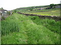
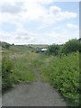
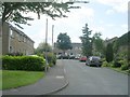
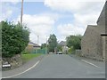
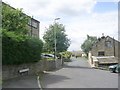
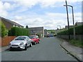
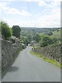
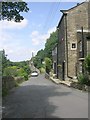
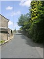
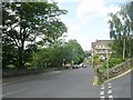
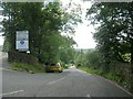
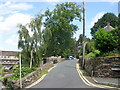
61 photos from this area
Area Information
Key information about the HD9 2RH including its size, population, and administrative classification.
- Area Type
- Postcode
- Area Size
- 8.3 hectares
- Population
- 1744
- Population Density
- 1159 people/km²
House Prices in HD9 2RH
14
Properties
£266,511
Average Sold Price
£115,000
Lowest Price
£428,000
Highest Price
Showing 14 properties
| Address | Type | Beds | Baths | Last Sale Price | Last Sale Date | |
|---|---|---|---|---|---|---|
| Hillcrest, Cemetery Road, Holmfirth, HD9 2RH | Bungalow | - | - | £320,000 | Nov 2020 | |
| Marlynn, Cemetery Road, Holmfirth, HD9 2RH | Bungalow | 3 | 2 | £428,000 | Feb 2015 | |
| Heathercroft, Cemetery Road, Holmfirth, HD9 2RH | house | 4 | - | £395,000 | Nov 2012 | |
| The Bungalow, Cemetery Road, Holmfirth, HD9 2RH | Bungalow | - | - | £390,000 | Jul 2009 | |
| Hunters Lodge, Cemetery Road, Holmfirth, HD9 2RH | Detached | 3 | 2 | £248,950 | Oct 2002 | |
| Kinvara, Cemetery Road, Holmfirth, HD9 2RH | Detached | - | - | £179,950 | Apr 2002 | |
| Valley Views, Cemetery Road, Holmfirth, HD9 2RH | house | - | - | £169,200 | Mar 2000 | |
| Holmdale, Cemetery Road, Holmfirth, HD9 2RH | Detached | - | - | £115,000 | Oct 1997 | |
| Meadow View, 90 Cemetery Road, Holmfirth, HD9 2RH | Detached | - | - | £152,500 | Feb 1996 | |
| Greenways, Cemetery Road, Holmfirth, HD9 2RH | house | - | - | - | - |
Page 1 of 2
Energy Efficiency in HD9 2RH
Amenities
Schools
| Rank | School | Type | Entry gender | Ages |
|---|
Explore more schools in this area
Go to Schools tabDemographics
Household Size
Two person
most common
Accommodation Type
Houses
most common
Tenure
73
majority
Ethnic Group
White
most common
Religion
N/A
most common
Household Composition
N/A
most common
Age
47
median
Adults (30-64 years)
most common
Household Deprivation
N/A
with no deprivation
NS-SEC
47
in Lower managerial occupations
Explore more demographic insights in this area
Go to Demographics tabPlanning
Planning Constraints
- Flood RiskPremium
- Ramsar Wetland SitesPremium
- Area of Outstanding Natural BeautyPremium
- Protected Nature ReservePremium
- Protected WoodlandPremium