Area Overview for HD9 2LF
Photos of HD9 2LF
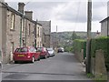
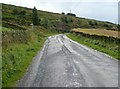
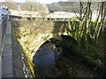
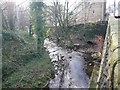
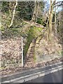
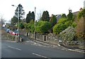
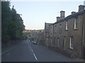
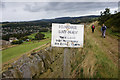
57 photos from this area
Area Information
Key information about the HD9 2LF including its size, population, and administrative classification.
- Area Type
- Postcode
- Area Size
- 1.5 hectares
- Population
- 1894
- Population Density
- 1248 people/km²
House Prices in HD9 2LF
23
Properties
£245,086
Average Sold Price
£30,000
Lowest Price
£535,000
Highest Price
Showing 23 properties
| Address | Type | Beds | Baths | Last Sale Price | Last Sale Date | |
|---|---|---|---|---|---|---|
| Little Croft, 106 Burnlee Road, Holmfirth, HD9 2LF | Bungalow | 3 | 1 | £365,000 | Jul 2024 | |
| Southdown, 8B Burnlee Road, Holmfirth, HD9 2LF | Bungalow | 5 | - | £500,000 | Apr 2019 | |
| Old Mill Cottage, Burnlee Road, Holmfirth, HD9 2LF | Semi-detached | 2 | 1 | £185,000 | Mar 2019 | |
| 29 Burnlee Road, Holmfirth, HD9 2LF | Bungalow | 4 | 1 | £290,000 | Apr 2018 | |
| The Dell, Burnlee Road, Holmfirth, HD9 2LF | Detached | 5 | 1 | £305,000 | Dec 2014 | |
| Burnlee House, 12 Burnlee Road, Holmfirth, HD9 2LF | house | 5 | - | £535,000 | Jul 2010 | |
| Wood View, Burnlee Road, Holmfirth, HD9 2LF | Bungalow | - | - | £156,000 | Nov 2009 | |
| 16 Burnlee Road, Holmfirth, HD9 2LF | house | - | - | £185,000 | Aug 2004 | |
| 39 Burnlee Road, Holmfirth, HD9 2LF | Terraced | - | - | £55,000 | Dec 2002 | |
| Burnside, Burnlee Road, Holmfirth, HD9 2LF | Detached | - | - | £89,950 | Apr 2000 |
Page 1 of 3
Energy Efficiency in HD9 2LF
Amenities
Schools
| Rank | School | Type | Entry gender | Ages |
|---|
Explore more schools in this area
Go to Schools tabDemographics
Household Size
Two person
most common
Accommodation Type
Houses
most common
Tenure
83
majority
Ethnic Group
White
most common
Religion
N/A
most common
Household Composition
N/A
most common
Age
47
median
Adults (30-64 years)
most common
Household Deprivation
N/A
with no deprivation
NS-SEC
46
in Lower managerial occupations
Explore more demographic insights in this area
Go to Demographics tabPlanning
Planning Constraints
- Flood RiskPremium
- Ramsar Wetland SitesPremium
- Area of Outstanding Natural BeautyPremium
- Protected Nature ReservePremium
- Protected WoodlandPremium