Area Overview for HD9 1LQ
Photos of HD9 1LQ
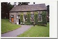
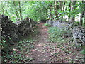
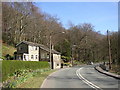
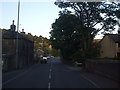
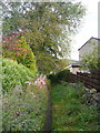
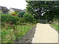
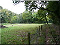
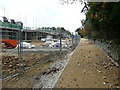
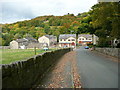
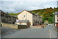
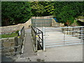
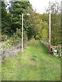
50 photos from this area
Area Information
Key information about the HD9 1LQ including its size, population, and administrative classification.
- Area Type
- Postcode
- Area Size
- 1.2 hectares
- Population
- 1400
- Population Density
- 1238 people/km²
House Prices in HD9 1LQ
25
Properties
£99,122
Average Sold Price
£42,000
Lowest Price
£145,000
Highest Price
Showing 25 properties
| Address | Type | Beds | Baths | Last Sale Price | Last Sale Date | |
|---|---|---|---|---|---|---|
| 6 Kirklands, New Mill, Holmfirth, HD9 1LQ | Terraced | 3 | 1 | £145,000 | Nov 2020 | |
| 7 Kirklands, New Mill, Holmfirth, HD9 1LQ | Terraced | 3 | 1 | £111,000 | Nov 2017 | |
| 19 Kirklands, New Mill, Holmfirth, HD9 1LQ | house | - | - | £125,000 | Aug 2010 | |
| 23 Kirklands, New Mill, Holmfirth, HD9 1LQ | Terraced | - | - | £109,950 | Mar 2010 | |
| 1 Kirklands, New Mill, Holmfirth, HD9 1LQ | house | - | - | £118,000 | Dec 2009 | |
| 3 Kirklands, New Mill, Holmfirth, HD9 1LQ | Land | - | - | £106,250 | Oct 2009 | |
| 8 Kirklands, New Mill, Holmfirth, HD9 1LQ | house | - | - | £120,000 | May 2009 | |
| 20 Kirklands, New Mill, Holmfirth, HD9 1LQ | house | - | - | £134,000 | Feb 2008 | |
| 24 Kirklands, New Mill, Holmfirth, HD9 1LQ | house | - | - | £133,500 | May 2007 | |
| 16 Kirklands, New Mill, Holmfirth, HD9 1LQ | house | - | - | £97,744 | Jan 2007 |
Page 1 of 3
Energy Efficiency in HD9 1LQ
Amenities
Schools
| Rank | School | Type | Entry gender | Ages |
|---|
Explore more schools in this area
Go to Schools tabDemographics
Household Size
Two person
most common
Accommodation Type
Houses
most common
Tenure
65
majority
Ethnic Group
White
most common
Religion
N/A
most common
Household Composition
N/A
most common
Age
47
median
Adults (30-64 years)
most common
Household Deprivation
N/A
with no deprivation
NS-SEC
30
in Lower managerial occupations
Explore more demographic insights in this area
Go to Demographics tabPlanning
Planning Constraints
- Flood RiskPremium
- Ramsar Wetland SitesPremium
- Area of Outstanding Natural BeautyPremium
- Protected Nature ReservePremium
- Protected WoodlandPremium