Area Overview for HD8 9QB
Photos of HD8 9QB
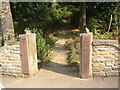
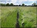
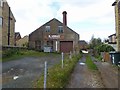
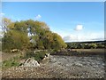
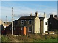
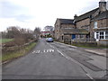
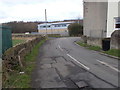
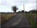
73 photos from this area
Area Information
Key information about the HD8 9QB including its size, population, and administrative classification.
- Area Type
- Postcode
- Area Size
- 2.7 hectares
- Population
- 1875
- Population Density
- 1835 people/km²
House Prices in HD8 9QB
18
Properties
£114,250
Average Sold Price
£50,000
Lowest Price
£183,000
Highest Price
Showing 18 properties
| Address | Type | Beds | Baths | Last Sale Price | Last Sale Date | |
|---|---|---|---|---|---|---|
| 14 Wakefield Road, Clayton West, Huddersfield, HD8 9QB | Terraced | 2 | 1 | £115,000 | Jun 2020 | |
| 16 Wakefield Road, Clayton West, Huddersfield, HD8 9QB | Terraced | 3 | 1 | £112,000 | May 2020 | |
| 18 Wakefield Road, Clayton West, Huddersfield, HD8 9QB | Terraced | 3 | 1 | £91,250 | Feb 2019 | |
| 13 Wakefield Road, Clayton West, Huddersfield, HD8 9QB | house | - | - | £147,000 | Nov 2016 | |
| 17 Wakefield Road, Clayton West, Huddersfield, HD8 9QB | Terraced | 2 | 1 | £115,000 | May 2014 | |
| 15 Wakefield Road, Clayton West, Huddersfield, HD8 9QB | Terraced | 2 | 1 | £93,000 | Apr 2007 | |
| 11 Wakefield Road, Clayton West, Huddersfield, HD8 9QB | house | - | - | £183,000 | Apr 2005 | |
| 22 Wakefield Road, Clayton West, Huddersfield, HD8 9QB | Terraced | - | - | £50,000 | Oct 2002 | |
| Park Mill House, 2 Wakefield Road, Clayton West, Huddersfield, HD8 9QB | Detached | - | - | £122,000 | Jan 1998 | |
| LIVING ACCOMMODATION, JUNCTION INN, 24 WAKEFIELD ROAD, Clayton West, Huddersfield, HD8 9QB | Flat | - | - | - | - |
Page 1 of 2
Energy Efficiency in HD8 9QB
Amenities
Schools
| Rank | School | Type | Entry gender | Ages |
|---|
Explore more schools in this area
Go to Schools tabDemographics
Household Size
Family (3-5 people)
most common
Accommodation Type
Houses
most common
Tenure
83
majority
Ethnic Group
White
most common
Religion
N/A
most common
Household Composition
N/A
most common
Age
47
median
Adults (30-64 years)
most common
Household Deprivation
N/A
with no deprivation
NS-SEC
37
in Lower managerial occupations
Explore more demographic insights in this area
Go to Demographics tabPlanning
Planning Constraints
- Flood RiskPremium
- Ramsar Wetland SitesPremium
- Area of Outstanding Natural BeautyPremium
- Protected Nature ReservePremium
- Protected WoodlandPremium