Area Overview for HD8 9HR
Photos of HD8 9HR
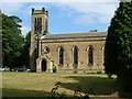
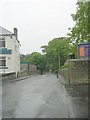
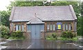
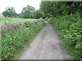
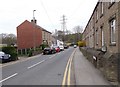
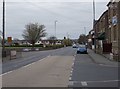
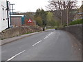
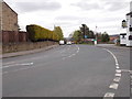
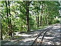
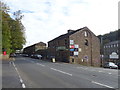
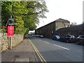
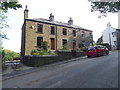
49 photos from this area
Area Information
Key information about the HD8 9HR including its size, population, and administrative classification.
- Area Type
- Postcode
- Area Size
- 9.6 hectares
- Population
- 1464
- Population Density
- 184 people/km²
House Prices in HD8 9HR
38
Properties
£142,750
Average Sold Price
£46,000
Lowest Price
£240,000
Highest Price
Showing 38 properties
| Address | Type | Beds | Baths | Last Sale Price | Last Sale Date | |
|---|---|---|---|---|---|---|
| 127 Wakefield Road, Scissett, Huddersfield, HD8 9HR | house | 2 | - | £240,000 | Dec 2022 | |
| 125 Wakefield Road, Scissett, Huddersfield, HD8 9HR | Terraced | 2 | - | £130,000 | Nov 2020 | |
| 155A Wakefield Road, Scissett, Huddersfield, HD8 9HR | Detached | 3 | 1 | £160,000 | Apr 2019 | |
| 129 Wakefield Road, Scissett, Huddersfield, HD8 9HR | Detached | 3 | 1 | £164,000 | Feb 2017 | |
| 178 Wakefield Road, Scissett, Huddersfield, HD8 9HR | Semi-detached | 2 | - | £175,000 | Aug 2015 | |
| 153 Wakefield Road, Scissett, Huddersfield, HD8 9HR | Terraced | 4 | 1 | £163,000 | Jul 2005 | |
| 119 Wakefield Road, Scissett, Huddersfield, HD8 9HR | house | - | - | £46,000 | Jan 2002 | |
| 117 Wakefield Road, Scissett, Huddersfield, HD8 9HR | Detached | 2 | 1 | £64,000 | Aug 1996 | |
| The Cottage, 176 Wakefield Road, Scissett, Huddersfield, HD8 9HR | Semi-detached | 3 | - | - | - | |
| Schoolhouse, 168 Wakefield Road, Scissett, Huddersfield, HD8 9HR | Detached | - | - | - | - |
Page 1 of 4
Energy Efficiency in HD8 9HR
Amenities
Schools
| Rank | School | Type | Entry gender | Ages |
|---|
Explore more schools in this area
Go to Schools tabDemographics
Household Size
Two person
most common
Accommodation Type
Houses
most common
Tenure
76
majority
Ethnic Group
White
most common
Religion
N/A
most common
Household Composition
N/A
most common
Age
47
median
Adults (30-64 years)
most common
Household Deprivation
N/A
with no deprivation
NS-SEC
41
in Lower managerial occupations
Explore more demographic insights in this area
Go to Demographics tabPlanning
Planning Constraints
- Flood RiskPremium
- Ramsar Wetland SitesPremium
- Area of Outstanding Natural BeautyPremium
- Protected Nature ReservePremium
- Protected WoodlandPremium