Area Overview for HD8 9DY
Photos of HD8 9DY
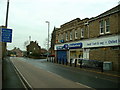
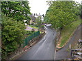
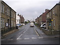

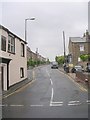
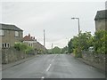
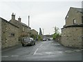
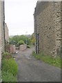
100 photos from this area
Area Information
Key information about the HD8 9DY including its size, population, and administrative classification.
- Area Type
- Postcode
- Area Size
- 1.3 hectares
- Population
- 1540
- Population Density
- 2365 people/km²
House Prices in HD8 9DY
45
Properties
£133,310
Average Sold Price
£50,000
Lowest Price
£300,000
Highest Price
Showing 45 properties
| Address | Type | Beds | Baths | Last Sale Price | Last Sale Date | |
|---|---|---|---|---|---|---|
| 3, Kings Court, King Street, Skelmanthorpe, Huddersfield, HD8 9DY | Terraced | 2 | - | £50,000 | Dec 2024 | |
| Holly Cottage, 6 King Street, Skelmanthorpe, Huddersfield, HD8 9DY | house | - | - | £300,000 | Jun 2024 | |
| 34 King Street, Skelmanthorpe, Huddersfield, HD8 9DY | house | 2 | 1 | £135,000 | Aug 2023 | |
| 13 King Street, Skelmanthorpe, Huddersfield, HD8 9DY | Terraced | 2 | 1 | £174,000 | Jul 2023 | |
| 11 King Street, Skelmanthorpe, Huddersfield, HD8 9DY | house | - | - | £121,000 | May 2022 | |
| 30 King Street, Skelmanthorpe, Huddersfield, HD8 9DY | Terraced | 3 | - | £195,000 | May 2022 | |
| 7, Kings Court, King Street, Skelmanthorpe, Huddersfield, HD8 9DY | house | - | - | £217,000 | Mar 2022 | |
| 4, Kings Court, King Street, Skelmanthorpe, Huddersfield, HD8 9DY | Cottage | 2 | 1 | £170,000 | Dec 2021 | |
| 24 King Street, Skelmanthorpe, Huddersfield, HD8 9DY | Cottage | 2 | 1 | £86,000 | May 2021 | |
| 15 King Street, Skelmanthorpe, Huddersfield, HD8 9DY | house | - | - | £120,000 | Aug 2019 |
Page 1 of 5
Energy Efficiency in HD8 9DY
Amenities
Schools
| Rank | School | Type | Entry gender | Ages |
|---|
Explore more schools in this area
Go to Schools tabDemographics
Household Size
Two person
most common
Accommodation Type
Houses
most common
Tenure
85
majority
Ethnic Group
White
most common
Religion
N/A
most common
Household Composition
N/A
most common
Age
47
median
Adults (30-64 years)
most common
Household Deprivation
N/A
with no deprivation
NS-SEC
41
in Lower managerial occupations
Explore more demographic insights in this area
Go to Demographics tabPlanning
Planning Constraints
- Flood RiskPremium
- Ramsar Wetland SitesPremium
- Area of Outstanding Natural BeautyPremium
- Protected Nature ReservePremium
- Protected WoodlandPremium