Area Overview for HD8 8YD
Photos of HD8 8YD
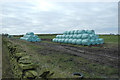
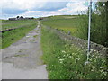
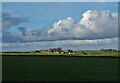
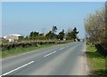
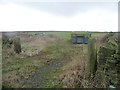
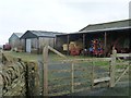
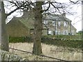
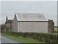
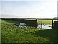
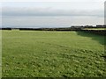
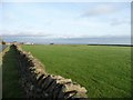
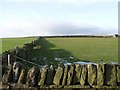
17 photos from this area
Area Information
Key information about the HD8 8YD including its size, population, and administrative classification.
- Area Type
- Postcode
- Area Size
- 1.5 km²
- Population
- 1857
- Population Density
- 340 people/km²
House Prices in HD8 8YD
18
Properties
£451,714
Average Sold Price
£185,000
Lowest Price
£685,000
Highest Price
Showing 18 properties
| Address | Type | Beds | Baths | Last Sale Price | Last Sale Date | |
|---|---|---|---|---|---|---|
| 2, Drake Hill Cottages, Hey Slack Lane, Whitley Common, Barnsley, HD8 8YD | Semi-detached | 4 | 2 | £680,000 | Aug 2021 | |
| 1, Drake Hill Cottages, Hey Slack Lane, Whitley Common, Barnsley, HD8 8YD | Farm | 3 | 3 | £396,000 | Feb 2018 | |
| Dearne Head, Haddingley Lane, Cumberworth, Huddersfield, HD8 8YD | Land | 1 | - | £547,000 | Apr 2008 | |
| Dearne Head Farm, Haddingley Lane, Cumberworth, Huddersfield, HD8 8YD | house | - | - | £685,000 | Dec 2006 | |
| Windmill Farm, Windmill Lane, Cumberworth, Huddersfield, HD8 8YD | Detached | 4 | 3 | £319,000 | Oct 2002 | |
| Lower Drake Hill Farm, Windmill Lane, Upper Maythorne, Barnsley, HD8 8YD | house | - | - | £350,000 | Sep 2001 | |
| Holme Farm, Haddingley Lane, Cumberworth, Huddersfield, HD8 8YD | Detached | - | - | £185,000 | Apr 1999 | |
| North Fields Farm, Haddingley Lane, Cumberworth, Huddersfield, HD8 8YD | house | 4 | - | - | - | |
| Hey Slack Cottage, Hey Slack Lane, Whitley Common, Barnsley, HD8 8YD | house | 3 | 1 | - | - | |
| Hey Slack Farm, Hey Slack Lane, Whitley Common, Barnsley, HD8 8YD | Terraced | - | - | - | - |
Page 1 of 2
Energy Efficiency in HD8 8YD
Amenities
Schools
| Rank | School | Type | Entry gender | Ages |
|---|
Explore more schools in this area
Go to Schools tabDemographics
Household Size
Two person
most common
Accommodation Type
Houses
most common
Tenure
87
majority
Ethnic Group
White
most common
Religion
N/A
most common
Household Composition
N/A
most common
Age
47
median
Adults (30-64 years)
most common
Household Deprivation
N/A
with no deprivation
NS-SEC
47
in Lower managerial occupations
Explore more demographic insights in this area
Go to Demographics tabPlanning
Planning Constraints
- Flood RiskPremium
- Ramsar Wetland SitesPremium
- Area of Outstanding Natural BeautyPremium
- Protected Nature ReservePremium
- Protected WoodlandPremium