Area Overview for HD8 8SD
Photos of HD8 8SD

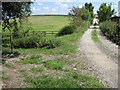
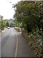
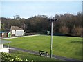
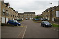
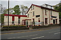
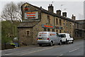

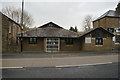
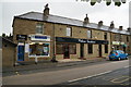
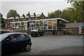
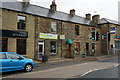
49 photos from this area
Area Information
Key information about the HD8 8SD including its size, population, and administrative classification.
- Area Type
- Postcode
- Area Size
- 1.2 hectares
- Population
- 1572
- Population Density
- 2079 people/km²
House Prices in HD8 8SD
19
Properties
£255,885
Average Sold Price
£57,000
Lowest Price
£875,000
Highest Price
Showing 19 properties
| Address | Type | Beds | Baths | Last Sale Price | Last Sale Date | |
|---|---|---|---|---|---|---|
| 320 Wakefield Road, Denby Dale, Huddersfield, HD8 8SD | house | 3 | - | £205,000 | Oct 2024 | |
| 316 Wakefield Road, Denby Dale, Huddersfield, HD8 8SD | Semi-detached | 3 | - | £207,500 | May 2024 | |
| 318 Wakefield Road, Denby Dale, Huddersfield, HD8 8SD | house | - | - | £210,000 | Sep 2022 | |
| 289 Wakefield Road, Denby Dale, Huddersfield, HD8 8SD | Terraced | 3 | 2 | £247,500 | Jun 2022 | |
| 326 Wakefield Road, Denby Dale, Huddersfield, HD8 8SD | Detached | 7 | 2 | £875,000 | Oct 2019 | |
| 314 Wakefield Road, Denby Dale, Huddersfield, HD8 8SD | Detached | 4 | - | £480,000 | Dec 2018 | |
| 277 Wakefield Road, Denby Dale, Huddersfield, HD8 8SD | Terraced | 2 | 1 | £110,000 | Jul 2018 | |
| 281 Wakefield Road, Denby Dale, Huddersfield, HD8 8SD | house | - | - | £180,000 | Apr 2016 | |
| 285 Wakefield Road, Denby Dale, Huddersfield, HD8 8SD | house | 3 | - | £128,500 | Aug 2015 | |
| 320A Wakefield Road, Denby Dale, Huddersfield, HD8 8SD | house | - | - | £156,000 | Feb 2014 |
Page 1 of 2
Energy Efficiency in HD8 8SD
Amenities
Schools
| Rank | School | Type | Entry gender | Ages |
|---|
Explore more schools in this area
Go to Schools tabDemographics
Household Size
Two person
most common
Accommodation Type
Houses
most common
Tenure
82
majority
Ethnic Group
White
most common
Religion
N/A
most common
Household Composition
N/A
most common
Age
47
median
Adults (30-64 years)
most common
Household Deprivation
N/A
with no deprivation
NS-SEC
44
in Lower managerial occupations
Explore more demographic insights in this area
Go to Demographics tabPlanning
Planning Constraints
- Flood RiskPremium
- Ramsar Wetland SitesPremium
- Area of Outstanding Natural BeautyPremium
- Protected Nature ReservePremium
- Protected WoodlandPremium