Area Overview for HD8 0PE
Photos of HD8 0PE
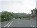
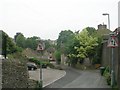
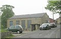
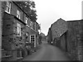
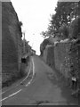
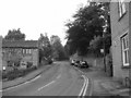
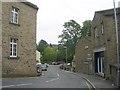
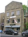
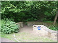
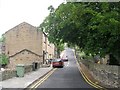
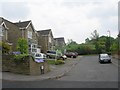

100 photos from this area
Area Information
Key information about the HD8 0PE including its size, population, and administrative classification.
- Area Type
- Postcode
- Area Size
- 11.4 hectares
- Population
- 1589
- Population Density
- 413 people/km²
House Prices in HD8 0PE
57
Properties
£161,392
Average Sold Price
£31,500
Lowest Price
£505,000
Highest Price
Showing 57 properties
| Address | Type | Beds | Baths | Last Sale Price | Last Sale Date | |
|---|---|---|---|---|---|---|
| 247 Penistone Road, Kirkburton, Huddersfield, HD8 0PE | house | 2 | 1 | £175,000 | Dec 2025 | |
| 255 Penistone Road, Kirkburton, Huddersfield, HD8 0PE | Semi-detached | 2 | 1 | £187,500 | Oct 2025 | |
| 46 Penistone Road, Kirkburton, Huddersfield, HD8 0PE | Terraced | 2 | 1 | £120,100 | Dec 2024 | |
| 50 Penistone Road, Kirkburton, Huddersfield, HD8 0PE | Terraced | 2 | 1 | £166,000 | Jul 2024 | |
| 44 Penistone Road, Kirkburton, Huddersfield, HD8 0PE | Terraced | 2 | 1 | £116,000 | Nov 2023 | |
| 233 Penistone Road, Kirkburton, Huddersfield, HD8 0PE | Semi-detached | 2 | 1 | £150,000 | May 2022 | |
| 249 Penistone Road, Kirkburton, Huddersfield, HD8 0PE | house | 2 | - | £134,000 | Mar 2021 | |
| 6 Brookfield, Kirkburton, Huddersfield, HD8 0PE | Detached | 5 | 3 | £390,000 | Feb 2021 | |
| 229 Penistone Road, Kirkburton, Huddersfield, HD8 0PE | Semi-detached | 2 | 1 | £122,500 | Jan 2021 | |
| 257 Penistone Road, Kirkburton, Huddersfield, HD8 0PE | Semi-detached | 2 | - | £117,500 | Dec 2019 |
Page 1 of 6
Energy Efficiency in HD8 0PE
Amenities
Schools
| Rank | School | Type | Entry gender | Ages |
|---|
Explore more schools in this area
Go to Schools tabDemographics
Household Size
Two person
most common
Accommodation Type
Houses
most common
Tenure
80
majority
Ethnic Group
White
most common
Religion
N/A
most common
Household Composition
N/A
most common
Age
47
median
Adults (30-64 years)
most common
Household Deprivation
N/A
with no deprivation
NS-SEC
48
in Lower managerial occupations
Explore more demographic insights in this area
Go to Demographics tabPlanning
Planning Constraints
- Flood RiskPremium
- Ramsar Wetland SitesPremium
- Area of Outstanding Natural BeautyPremium
- Protected Nature ReservePremium