Area Overview for HD8 0EN
Photos of HD8 0EN
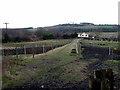
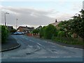
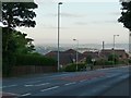
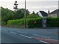
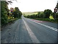
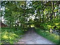
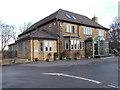
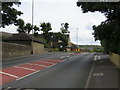
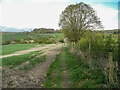
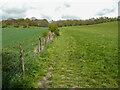
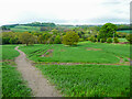
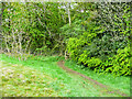
40 photos from this area
Area Information
Key information about the HD8 0EN including its size, population, and administrative classification.
- Area Type
- Postcode
- Area Size
- 5.1 hectares
- Population
- 1538
- Population Density
- 1206 people/km²
House Prices in HD8 0EN
40
Properties
£156,143
Average Sold Price
£76,000
Lowest Price
£290,000
Highest Price
Showing 40 properties
| Address | Type | Beds | Baths | Last Sale Price | Last Sale Date | |
|---|---|---|---|---|---|---|
| 24 Lydgate Drive, Lepton, Huddersfield, HD8 0EN | Bungalow | 2 | 1 | £240,000 | Aug 2023 | |
| 11 Lydgate Drive, Lepton, Huddersfield, HD8 0EN | Semi-detached | 3 | 2 | £290,000 | Jul 2023 | |
| 39 Lydgate Drive, Lepton, Huddersfield, HD8 0EN | Bungalow | 3 | 2 | £275,000 | Jul 2023 | |
| 8 Lydgate Drive, Lepton, Huddersfield, HD8 0EN | Bungalow | - | - | £190,100 | Apr 2022 | |
| 1 Lydgate Drive, Lepton, Huddersfield, HD8 0EN | Semi-detached | 4 | 1 | £265,000 | Feb 2021 | |
| 31 Lydgate Drive, Lepton, Huddersfield, HD8 0EN | house | - | - | £140,000 | Jun 2020 | |
| 16 Lydgate Drive, Lepton, Huddersfield, HD8 0EN | Semi-detached | 2 | 1 | £160,000 | Sep 2019 | |
| 1A Lydgate Drive, Lepton, Huddersfield, HD8 0EN | Detached | - | - | £165,000 | Jun 2018 | |
| 19 Lydgate Drive, Lepton, Huddersfield, HD8 0EN | Bungalow | 1 | - | £115,000 | Feb 2016 | |
| 9 Lydgate Drive, Lepton, Huddersfield, HD8 0EN | Semi-detached | 4 | - | £175,000 | Dec 2015 |
Page 1 of 4
Energy Efficiency in HD8 0EN
Amenities
Schools
| Rank | School | Type | Entry gender | Ages |
|---|
Explore more schools in this area
Go to Schools tabDemographics
Household Size
Two person
most common
Accommodation Type
Houses
most common
Tenure
85
majority
Ethnic Group
White
most common
Religion
N/A
most common
Household Composition
N/A
most common
Age
47
median
Adults (30-64 years)
most common
Household Deprivation
N/A
with no deprivation
NS-SEC
32
in Lower managerial occupations
Explore more demographic insights in this area
Go to Demographics tabPlanning
Planning Constraints
- Flood RiskPremium
- Ramsar Wetland SitesPremium
- Area of Outstanding Natural BeautyPremium
- Protected Nature ReservePremium
- Protected WoodlandPremium