Area Overview for HD7 4QW
Photos of HD7 4QW
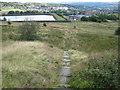

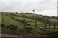

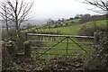
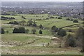

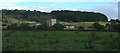
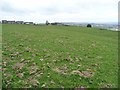
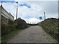
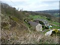
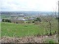
83 photos from this area
Area Information
Key information about the HD7 4QW including its size, population, and administrative classification.
- Area Type
- Postcode
- Area Size
- 2.0 hectares
- Population
- 2122
- Population Density
- 3217 people/km²
House Prices in HD7 4QW
17
Properties
£145,611
Average Sold Price
£90,000
Lowest Price
£215,000
Highest Price
Showing 17 properties
| Address | Type | Beds | Baths | Last Sale Price | Last Sale Date | |
|---|---|---|---|---|---|---|
| 28 Parkwood Road, Golcar, Huddersfield, HD7 4QW | house | 2 | 1 | £215,000 | Mar 2023 | |
| 52 Parkwood Road, Golcar, Huddersfield, HD7 4QW | Terraced | 4 | 2 | £208,000 | Jan 2023 | |
| 40 Parkwood Road, Golcar, Huddersfield, HD7 4QW | Terraced | 3 | 1 | £152,000 | Jun 2021 | |
| 32 Parkwood Road, Golcar, Huddersfield, HD7 4QW | Terraced | 3 | 1 | £163,000 | Dec 2020 | |
| 48 Parkwood Road, Golcar, Huddersfield, HD7 4QW | Terraced | 3 | 1 | £130,000 | Dec 2018 | |
| 50 Parkwood Road, Golcar, Huddersfield, HD7 4QW | house | - | - | £127,500 | Sep 2015 | |
| 44 Parkwood Road, Golcar, Huddersfield, HD7 4QW | house | - | - | £90,000 | Mar 2014 | |
| 46 Parkwood Road, Golcar, Huddersfield, HD7 4QW | house | - | - | £112,500 | Aug 2010 | |
| 30 Parkwood Road, Golcar, Huddersfield, HD7 4QW | house | - | - | £112,500 | Jul 2007 | |
| 38 Parkwood Road, Golcar, Huddersfield, HD7 4QW | Terraced | 3 | 1 | - | - |
Page 1 of 2
Energy Efficiency in HD7 4QW
Amenities
Schools
| Rank | School | Type | Entry gender | Ages |
|---|
Explore more schools in this area
Go to Schools tabDemographics
Household Size
Two person
most common
Accommodation Type
Houses
most common
Tenure
72
majority
Ethnic Group
White
most common
Religion
N/A
most common
Household Composition
N/A
most common
Age
47
median
Adults (30-64 years)
most common
Household Deprivation
N/A
with no deprivation
NS-SEC
42
in Lower managerial occupations
Explore more demographic insights in this area
Go to Demographics tabPlanning
Planning Constraints
- Flood RiskPremium
- Ramsar Wetland SitesPremium
- Area of Outstanding Natural BeautyPremium
- Protected Nature ReservePremium
- Protected WoodlandPremium