Area Overview for HD7 1GB
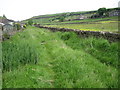
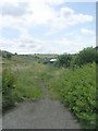
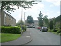
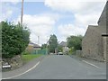
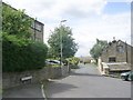
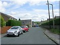
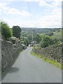
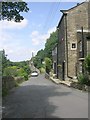
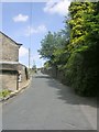
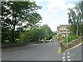
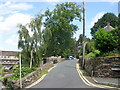
Photos of HD7 1GB

Area Information
HD7 1GB is a small, tightly knit residential postcode in England, home to 2,254 residents spread across 181 people per square kilometre. This area is defined by its compact size and the presence of modest, owner-occupied homes, reflecting a community that values stability and local connection. The population’s median age of 47 suggests a mature demographic, with the majority of residents falling within the 30–64 age range. Daily life here is shaped by proximity to nearby amenities, including five retail outlets such as Sainsburys Holmfirth and Co-op Holmfirth, as well as five railway stations like Brockholes and Honley, which provide easy access to regional transport networks. The area’s low crime risk, with a safety score of 83, and negligible flood or environmental hazards make it an attractive option for those prioritising security and practicality. While the postcode’s small size means limited housing stock, its blend of quiet living and accessible services offers a distinct character that appeals to those seeking a balanced lifestyle.
- Area Type
- Postcode
- Area Size
- Not available
- Population
- 2254
- Population Density
- 181 people/km²
HD7 1GB is primarily an owner-occupied area, with 82% of properties in private hands. The housing stock is dominated by houses, which is typical for a low-density postcode with a mature population. This suggests a market where long-term residency and property investment are common, rather than a rental-focused environment. The small size of the postcode means the available housing stock is limited, which could make the area competitive for buyers seeking a quiet, established home. The prevalence of houses may appeal to those prioritising space and privacy, though the lack of high-rise or apartment developments indicates a more traditional, suburban layout. For buyers, the area’s compact nature means proximity to amenities and transport is a key advantage, but the limited housing supply could lead to higher prices or fewer options compared to larger towns.
House Prices in HD7 1GB
No properties found in this postcode.
Energy Efficiency in HD7 1GB
Living in HD7 1GB offers access to a range of local amenities, including five retail outlets such as Sainsburys Holmfirth, Co-op Holmfirth, and Lidl Holmfirth, which provide essential shopping and grocery needs. These stores are likely to cater to the daily requirements of the area’s residents, reducing the need for long trips to larger centres. The proximity to five railway stations also enhances convenience, enabling easy travel to nearby towns for leisure, work, or social activities. While the data does not specify parks or recreational facilities, the absence of environmental constraints like protected woodlands or AONBs suggests that open spaces may be available for outdoor activities. The combination of retail access, transport links, and a low-risk environment contributes to a practical, community-focused lifestyle, ideal for those valuing ease of access and a manageable pace of life.
Amenities
Schools
The nearest school to HD7 1GB is Hade Edge Junior, Infant and Nursery School, a primary institution with an Ofsted rating of satisfactory. This school serves the area’s younger residents, offering education for children from nursery through to Year 6. The presence of a primary school within walking distance is a significant factor for families, reducing the need for long commutes to secondary education. However, the data does not include information about secondary schools or higher education institutions nearby, which could be a consideration for households with older children. The satisfactory Ofsted rating indicates that the school meets basic standards but may not excel in areas such as academic performance or extracurricular offerings. For parents prioritising strong local education, further research into secondary school options would be necessary, though the primary school’s accessibility is a clear benefit of living in HD7 1GB.
| Rank | School | Type | Entry gender | Ages |
|---|
Explore more schools in this area
Go to Schools tabDemographics
The population of HD7 1GB is predominantly composed of adults aged 30–64, with a median age of 47. This suggests a community rooted in middle-aged residents, likely with established careers and family ties. Home ownership is high, with 82% of properties owner-occupied, indicating a stable housing market and long-term residency. The accommodation type is largely houses, which aligns with the area’s low population density and residential character. The predominant ethnic group is White, reflecting a homogenous demographic profile. While no specific deprivation data is provided, the high home ownership rate and age distribution imply a community with relatively secure economic foundations. For families, the presence of a primary school within the area, Hade Edge Junior, Infant and Nursery School, suggests a focus on local education. However, the absence of detailed diversity metrics means the full scope of the community’s social composition remains partially unexplored.
Household Size
Accommodation Type
Tenure
Ethnic Group
Religion
Household Composition
Age
Household Deprivation
NS-SEC
Explore more demographic insights in this area
Go to Demographics tabPlanning
Planning Constraints
- Flood RiskPremium
- Ramsar Wetland SitesPremium
- Area of Outstanding Natural BeautyPremium
- Protected Nature ReservePremium
- Protected WoodlandPremium