Area Overview for HD6 2PP
Photos of HD6 2PP
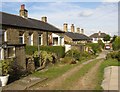
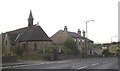
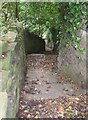
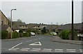
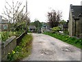
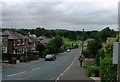
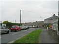
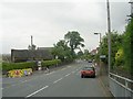
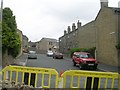
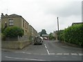
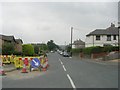
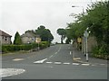
100 photos from this area
Area Information
Key information about the HD6 2PP including its size, population, and administrative classification.
- Area Type
- Postcode
- Area Size
- 8947 m²
- Population
- 1589
- Population Density
- 3000 people/km²
House Prices in HD6 2PP
23
Properties
£154,321
Average Sold Price
£37,000
Lowest Price
£300,000
Highest Price
Showing 23 properties
| Address | Type | Beds | Baths | Last Sale Price | Last Sale Date | |
|---|---|---|---|---|---|---|
| 71 Green Lane, Brighouse, HD6 2PP | house | - | - | £150,000 | Nov 2024 | |
| 62 Green Lane, Brighouse, HD6 2PP | Bungalow | 3 | 2 | £300,000 | Sep 2024 | |
| 40 Green Lane, Brighouse, HD6 2PP | Bungalow | 2 | 1 | £231,000 | Sep 2022 | |
| 69 Green Lane, Brighouse, HD6 2PP | house | - | - | £162,000 | Jul 2021 | |
| 42 Green Lane, Brighouse, HD6 2PP | Bungalow | - | - | £218,000 | May 2021 | |
| 58 Green Lane, Brighouse, HD6 2PP | house | - | - | £222,500 | Sep 2016 | |
| 60 Green Lane, Brighouse, HD6 2PP | Bungalow | - | - | £205,000 | Jun 2010 | |
| 36 Green Lane, Brighouse, HD6 2PP | house | - | - | £185,500 | Apr 2010 | |
| 52 Green Lane, Brighouse, HD6 2PP | Terraced | - | - | £162,000 | Sep 2004 | |
| 54 Green Lane, Brighouse, HD6 2PP | Terraced | - | - | £155,000 | Apr 2004 |
Page 1 of 3
Energy Efficiency in HD6 2PP
Amenities
Schools
| Rank | School | Type | Entry gender | Ages |
|---|
Explore more schools in this area
Go to Schools tabDemographics
Household Size
Two person
most common
Accommodation Type
Houses
most common
Tenure
88
majority
Ethnic Group
White
most common
Religion
N/A
most common
Household Composition
N/A
most common
Age
47
median
Adults (30-64 years)
most common
Household Deprivation
N/A
with no deprivation
NS-SEC
43
in Lower managerial occupations
Explore more demographic insights in this area
Go to Demographics tabPlanning
Planning Constraints
- Flood RiskPremium
- Ramsar Wetland SitesPremium
- Area of Outstanding Natural BeautyPremium
- Protected Nature ReservePremium
- Protected WoodlandPremium