Area Overview for HD5 8XZ
Photos of HD5 8XZ
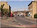
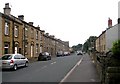
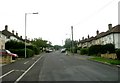
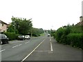
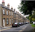
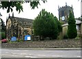
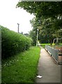
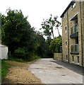
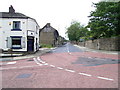
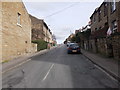
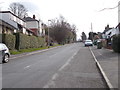
100 photos from this area
Area Information
Key information about the HD5 8XZ including its size, population, and administrative classification.
- Area Type
- Postcode
- Area Size
- 3.8 hectares
- Population
- 1480
- Population Density
- 684 people/km²
House Prices in HD5 8XZ
35
Properties
£196,221
Average Sold Price
£86,000
Lowest Price
£500,000
Highest Price
Showing 35 properties
| Address | Type | Beds | Baths | Last Sale Price | Last Sale Date | |
|---|---|---|---|---|---|---|
| 34 Helted Way, Almondbury, Huddersfield, HD5 8XZ | Detached | 4 | 3 | £332,500 | Nov 2025 | |
| 7 Helted Way, Almondbury, Huddersfield, HD5 8XZ | Detached | 4 | 3 | £330,000 | Aug 2025 | |
| 40 Helted Way, Almondbury, Huddersfield, HD5 8XZ | house | 4 | 2 | £500,000 | Mar 2025 | |
| 25 Helted Way, Almondbury, Huddersfield, HD5 8XZ | house | 3 | 2 | £270,000 | Jan 2025 | |
| 28 Helted Way, Almondbury, Huddersfield, HD5 8XZ | house | 4 | 2 | £362,000 | Aug 2023 | |
| 27 Helted Way, Almondbury, Huddersfield, HD5 8XZ | house | - | - | £370,000 | Jun 2021 | |
| 4 Helted Way, Almondbury, Huddersfield, HD5 8XZ | house | - | - | £312,000 | Jul 2019 | |
| 30 Helted Way, Almondbury, Huddersfield, HD5 8XZ | Detached | 4 | 2 | £327,000 | Jul 2019 | |
| 29 Helted Way, Almondbury, Huddersfield, HD5 8XZ | house | 4 | - | £350,000 | Apr 2018 | |
| 36 Helted Way, Almondbury, Huddersfield, HD5 8XZ | house | 4 | 2 | £265,000 | Dec 2016 |
Page 1 of 4
Energy Efficiency in HD5 8XZ
Amenities
Schools
| Rank | School | Type | Entry gender | Ages |
|---|
Explore more schools in this area
Go to Schools tabDemographics
Household Size
Two person
most common
Accommodation Type
Houses
most common
Tenure
87
majority
Ethnic Group
White
most common
Religion
N/A
most common
Household Composition
N/A
most common
Age
47
median
Adults (30-64 years)
most common
Household Deprivation
N/A
with no deprivation
NS-SEC
45
in Lower managerial occupations
Explore more demographic insights in this area
Go to Demographics tabPlanning
Planning Constraints
- Flood RiskPremium
- Ramsar Wetland SitesPremium
- Area of Outstanding Natural BeautyPremium
- Protected Nature ReservePremium
- Protected WoodlandPremium