Area Overview for HD5 8PF
Photos of HD5 8PF
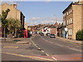
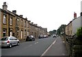
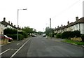
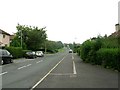
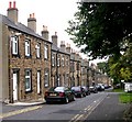
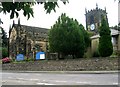
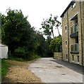
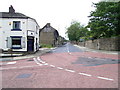
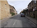
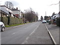
100 photos from this area
Area Information
Key information about the HD5 8PF including its size, population, and administrative classification.
- Area Type
- Postcode
- Area Size
- 5.6 hectares
- Population
- 1488
- Population Density
- 3610 people/km²
House Prices in HD5 8PF
59
Properties
£99,367
Average Sold Price
£30,000
Lowest Price
£200,000
Highest Price
Showing 59 properties
| Address | Type | Beds | Baths | Last Sale Price | Last Sale Date | |
|---|---|---|---|---|---|---|
| 44 Fernside Avenue, Almondbury, Huddersfield, HD5 8PF | house | - | - | £175,000 | Mar 2024 | |
| 85 Fernside Avenue, Almondbury, Huddersfield, HD5 8PF | house | 3 | 1 | £155,000 | Sep 2023 | |
| 50 Fernside Avenue, Almondbury, Huddersfield, HD5 8PF | Semi-detached | 3 | 1 | £200,000 | Aug 2023 | |
| 68 Fernside Avenue, Almondbury, Huddersfield, HD5 8PF | Semi-detached | 3 | 1 | £132,000 | May 2023 | |
| 71 Fernside Avenue, Almondbury, Huddersfield, HD5 8PF | Retail | 3 | 1 | £105,000 | Feb 2022 | |
| 58 Fernside Avenue, Almondbury, Huddersfield, HD5 8PF | Semi-detached | 3 | 1 | £118,000 | Mar 2021 | |
| 69 Fernside Avenue, Almondbury, Huddersfield, HD5 8PF | house | 3 | 1 | £122,000 | Oct 2020 | |
| 23 Fernside Avenue, Almondbury, Huddersfield, HD5 8PF | Terraced | 3 | 1 | £113,500 | Feb 2020 | |
| 67 Fernside Avenue, Almondbury, Huddersfield, HD5 8PF | house | 3 | 1 | £117,000 | Jan 2020 | |
| 77 Fernside Avenue, Almondbury, Huddersfield, HD5 8PF | Semi-detached | 3 | - | £96,000 | Nov 2016 |
Page 1 of 6
Energy Efficiency in HD5 8PF
Amenities
Schools
| Rank | School | Type | Entry gender | Ages |
|---|
Explore more schools in this area
Go to Schools tabDemographics
Household Size
Two person
most common
Accommodation Type
Houses
most common
Tenure
74
majority
Ethnic Group
White
most common
Religion
N/A
most common
Household Composition
N/A
most common
Age
47
median
Adults (30-64 years)
most common
Household Deprivation
N/A
with no deprivation
NS-SEC
29
in Lower managerial occupations
Explore more demographic insights in this area
Go to Demographics tabPlanning
Planning Constraints
- Flood RiskPremium
- Ramsar Wetland SitesPremium
- Area of Outstanding Natural BeautyPremium
- Protected Nature ReservePremium
- Protected WoodlandPremium