Area Overview for HD4 7AF
Photos of HD4 7AF
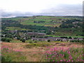
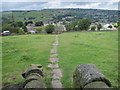
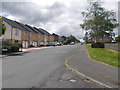
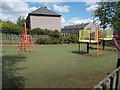
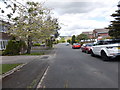
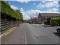
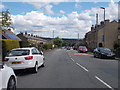
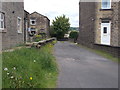
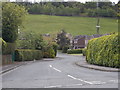
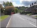
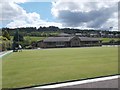
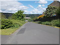
38 photos from this area
Area Information
Key information about the HD4 7AF including its size, population, and administrative classification.
- Area Type
- Postcode
- Area Size
- 21.4 hectares
- Population
- 1583
- Population Density
- 557 people/km²
House Prices in HD4 7AF
6
Properties
£156,500
Average Sold Price
£93,000
Lowest Price
£220,000
Highest Price
Showing 6 properties
| Address | Type | Beds | Baths | Last Sale Price | Last Sale Date | |
|---|---|---|---|---|---|---|
| North House Farm, Blackmoorfoot Road, Crosland Hill, Huddersfield, HD4 7AF | house | 3 | 1 | £220,000 | Mar 2021 | |
| Cherry Tree Cottage, Blackmoorfoot Road, Crosland Hill, Huddersfield, HD4 7AF | Bungalow | - | - | £93,000 | Jul 2015 | |
| Heather Mount, Blackmoorfoot Road, Crosland Hill, Huddersfield, HD4 7AF | Semi-detached | - | - | - | - | |
| Felk Style Cottage, Felks Stile Road, Crosland Hill, Huddersfield, HD4 7AF | Detached | - | - | - | - | |
| Crosland Heath Golf Club, Felks Stile Road, Crosland Hill, Huddersfield, HD4 7AF | Leisure | - | - | - | - | |
| Shaw Green Farm, Blackmoorfoot Road, Crosland Hill, Huddersfield, HD4 7AF | Semi-detached | - | - | - | - |
Energy Efficiency in HD4 7AF
Amenities
Schools
| Rank | School | Type | Entry gender | Ages |
|---|
Explore more schools in this area
Go to Schools tabDemographics
Household Size
Two person
most common
Accommodation Type
Houses
most common
Tenure
89
majority
Ethnic Group
White
most common
Religion
N/A
most common
Household Composition
N/A
most common
Age
47
median
Adults (30-64 years)
most common
Household Deprivation
N/A
with no deprivation
NS-SEC
42
in Lower managerial occupations
Explore more demographic insights in this area
Go to Demographics tabPlanning
Planning Constraints
- Flood RiskPremium
- Ramsar Wetland SitesPremium
- Area of Outstanding Natural BeautyPremium
- Protected Nature ReservePremium
- Protected WoodlandPremium