Area Overview for HD4 6SQ
Photos of HD4 6SQ
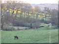
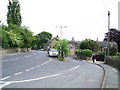
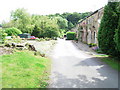
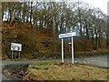
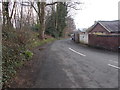
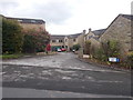
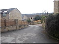
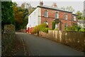
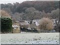
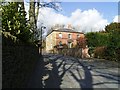
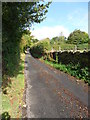
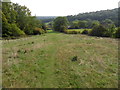
24 photos from this area
Area Information
Key information about the HD4 6SQ including its size, population, and administrative classification.
- Area Type
- Postcode
- Area Size
- 12.4 hectares
- Population
- 1349
- Population Density
- 1940 people/km²
House Prices in HD4 6SQ
19
Properties
£506,600
Average Sold Price
£217,000
Lowest Price
£1,075,000
Highest Price
Showing 19 properties
| Address | Type | Beds | Baths | Last Sale Price | Last Sale Date | |
|---|---|---|---|---|---|---|
| 26 Arkenley Lane, Almondbury, Huddersfield, HD4 6SQ | Detached | - | - | £660,000 | Feb 2024 | |
| Overbrook, 24 Arkenley Lane, Almondbury, Huddersfield, HD4 6SQ | Detached | 5 | 3 | £1,075,000 | Sep 2023 | |
| Arkwood, 18A Arkenley Lane, Almondbury, Huddersfield, HD4 6SQ | house | - | - | £476,500 | Sep 2022 | |
| 16 Arkenley Lane, Almondbury, Huddersfield, HD4 6SQ | Detached | - | - | £385,000 | Mar 2021 | |
| 22 Arkenley Lane, Almondbury, Huddersfield, HD4 6SQ | house | - | - | £960,000 | Mar 2020 | |
| 42 Arkenley Lane, Almondbury, Huddersfield, HD4 6SQ | house | - | - | £400,000 | Dec 2015 | |
| Rushfield, 28 Arkenley Lane, Almondbury, Huddersfield, HD4 6SQ | Detached | 6 | 5 | £930,000 | Sep 2015 | |
| 18 Arkenley Lane, Almondbury, Huddersfield, HD4 6SQ | house | - | - | £375,000 | Jul 2013 | |
| 12 Arkenley Lane, Almondbury, Huddersfield, HD4 6SQ | house | 4 | - | £437,000 | Apr 2012 | |
| 6 Arkenley Lane, Almondbury, Huddersfield, HD4 6SQ | Detached | - | - | £331,500 | Oct 2011 |
Page 1 of 2
Energy Efficiency in HD4 6SQ
Amenities
Schools
| Rank | School | Type | Entry gender | Ages |
|---|
Explore more schools in this area
Go to Schools tabDemographics
Household Size
One person
most common
Accommodation Type
Houses
most common
Tenure
71
majority
Ethnic Group
White
most common
Religion
N/A
most common
Household Composition
N/A
most common
Age
47
median
Adults (30-64 years)
most common
Household Deprivation
N/A
with no deprivation
NS-SEC
39
in Lower managerial occupations
Explore more demographic insights in this area
Go to Demographics tabPlanning
Planning Constraints
- Flood RiskPremium
- Ramsar Wetland SitesPremium
- Area of Outstanding Natural BeautyPremium
- Protected Nature ReservePremium
- Protected WoodlandPremium