Area Overview for HD4 5TW
Photos of HD4 5TW
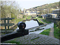
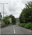
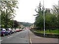
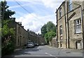
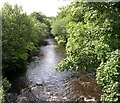
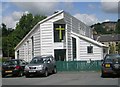
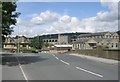
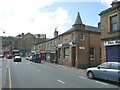
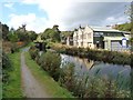

100 photos from this area
Area Information
Key information about the HD4 5TW including its size, population, and administrative classification.
- Area Type
- Postcode
- Area Size
- 1.7 hectares
- Population
- 1690
- Population Density
- 4088 people/km²
House Prices in HD4 5TW
61
Properties
£117,423
Average Sold Price
£39,000
Lowest Price
£265,000
Highest Price
Showing 61 properties
| Address | Type | Beds | Baths | Last Sale Price | Last Sale Date | |
|---|---|---|---|---|---|---|
| 35 Warneford Road, Cowlersley, Huddersfield, HD4 5TW | Terraced | 4 | 1 | £185,000 | Mar 2025 | |
| 29 Warneford Road, Cowlersley, Huddersfield, HD4 5TW | house | - | - | £160,000 | Sep 2024 | |
| 32 Warneford Road, Cowlersley, Huddersfield, HD4 5TW | Semi-detached | 3 | 2 | £167,500 | Jul 2023 | |
| 65 Warneford Road, Cowlersley, Huddersfield, HD4 5TW | Semi-detached | 3 | 1 | £180,000 | Mar 2023 | |
| 25 Warneford Road, Cowlersley, Huddersfield, HD4 5TW | house | - | - | £175,500 | Jul 2022 | |
| 37 Warneford Road, Cowlersley, Huddersfield, HD4 5TW | house | - | - | £182,500 | Sep 2021 | |
| 28 Warneford Road, Cowlersley, Huddersfield, HD4 5TW | Terraced | 3 | 1 | £209,000 | Apr 2021 | |
| 15 Warneford Road, Cowlersley, Huddersfield, HD4 5TW | Terraced | 3 | 1 | £158,500 | Jun 2020 | |
| 67 Warneford Road, Cowlersley, Huddersfield, HD4 5TW | Semi-detached | 3 | 1 | £130,000 | Jul 2019 | |
| 1C Warneford Road, Cowlersley, Huddersfield, HD4 5TW | Detached | 4 | 1 | £265,000 | Jan 2019 |
Page 1 of 7
Energy Efficiency in HD4 5TW
Amenities
Schools
| Rank | School | Type | Entry gender | Ages |
|---|
Explore more schools in this area
Go to Schools tabDemographics
Household Size
One person
most common
Accommodation Type
Houses
most common
Tenure
67
majority
Ethnic Group
White
most common
Religion
N/A
most common
Household Composition
N/A
most common
Age
47
median
Adults (30-64 years)
most common
Household Deprivation
N/A
with no deprivation
NS-SEC
25
in Lower managerial occupations
Explore more demographic insights in this area
Go to Demographics tabPlanning
Planning Constraints
- Flood RiskPremium
- Ramsar Wetland SitesPremium
- Area of Outstanding Natural BeautyPremium
- Protected Nature ReservePremium
- Protected WoodlandPremium