Area Overview for HD4 5RR
Photos of HD4 5RR
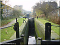
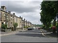
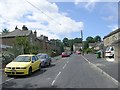
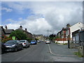
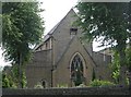
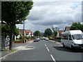
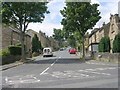
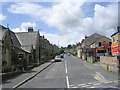
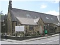
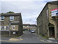
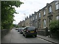
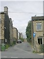
100 photos from this area
Area Information
Key information about the HD4 5RR including its size, population, and administrative classification.
- Area Type
- Postcode
- Area Size
- 1844 m²
- Population
- 2004
- Population Density
- 5724 people/km²
House Prices in HD4 5RR
9
Properties
£66,071
Average Sold Price
£18,000
Lowest Price
£120,000
Highest Price
Showing 9 properties
| Address | Type | Beds | Baths | Last Sale Price | Last Sale Date | |
|---|---|---|---|---|---|---|
| 35 Charles Street, Crosland Moor, Huddersfield, HD4 5RR | house | - | - | £110,000 | Apr 2021 | |
| 29 Charles Street, Crosland Moor, Huddersfield, HD4 5RR | Terraced | 3 | 1 | £97,000 | Jun 2020 | |
| 25 Charles Street, Crosland Moor, Huddersfield, HD4 5RR | house | - | - | £36,500 | Feb 2013 | |
| 27 Charles Street, Crosland Moor, Huddersfield, HD4 5RR | house | - | - | £52,000 | Mar 2011 | |
| 41 Charles Street, Crosland Moor, Huddersfield, HD4 5RR | Semi-detached | - | - | £120,000 | Mar 2009 | |
| 31 Charles Street, Crosland Moor, Huddersfield, HD4 5RR | Terraced | - | - | £29,000 | Oct 1999 | |
| 37-39 Charles Street, Crosland Moor, Huddersfield, HD4 5RR | Terraced | - | - | £18,000 | Jul 1998 | |
| Store, Charles Street, Crosland Moor, Huddersfield, HD4 5RR | warehouse | - | - | - | - | |
| 33 Charles Street, Crosland Moor, Huddersfield, HD4 5RR | Terraced | - | - | - | - |
Energy Efficiency in HD4 5RR
Amenities
Schools
| Rank | School | Type | Entry gender | Ages |
|---|
Explore more schools in this area
Go to Schools tabDemographics
Household Size
One person
most common
Accommodation Type
Houses
most common
Tenure
51
majority
Ethnic Group
White
most common
Religion
N/A
most common
Household Composition
N/A
most common
Age
47
median
Adults (30-64 years)
most common
Household Deprivation
N/A
with no deprivation
NS-SEC
19
in Lower managerial occupations
Explore more demographic insights in this area
Go to Demographics tabPlanning
Planning Constraints
- Flood RiskPremium
- Ramsar Wetland SitesPremium
- Area of Outstanding Natural BeautyPremium
- Protected Nature ReservePremium
- Protected WoodlandPremium