Area Overview for HD4 5HX
Photos of HD4 5HX
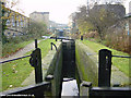
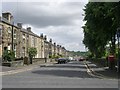
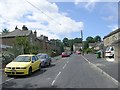
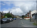
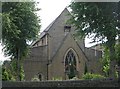
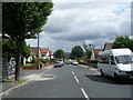
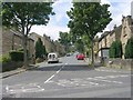
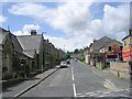
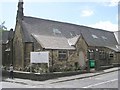
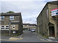
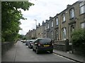
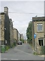
100 photos from this area
Area Information
Key information about the HD4 5HX including its size, population, and administrative classification.
- Area Type
- Postcode
- Area Size
- 5.2 hectares
- Population
- 1777
- Population Density
- 2949 people/km²
House Prices in HD4 5HX
9
Properties
£177,920
Average Sold Price
£90,000
Lowest Price
£280,000
Highest Price
Showing 9 properties
| Address | Type | Beds | Baths | Last Sale Price | Last Sale Date | |
|---|---|---|---|---|---|---|
| 5 Dryclough Road, Crosland Moor, Huddersfield, HD4 5HX | Bungalow | - | - | £280,000 | Jun 2021 | |
| 9 Dryclough Road, Crosland Moor, Huddersfield, HD4 5HX | house | - | - | £180,000 | Jan 2017 | |
| 11 Dryclough Road, Crosland Moor, Huddersfield, HD4 5HX | house | - | - | £90,000 | Mar 2014 | |
| 7 Dryclough Road, Crosland Moor, Huddersfield, HD4 5HX | house | - | - | £249,600 | Sep 2008 | |
| 15 Dryclough Road, Crosland Moor, Huddersfield, HD4 5HX | house | - | - | £90,000 | Feb 1999 | |
| School House, 3 Dryclough Road, Crosland Moor, Huddersfield, HD4 5HX | Detached | - | - | - | - | |
| Breakfast Club, Oak Ce Vc Primary Key Stage 1, Dryclough Road, Crosland Moor, Huddersfield, HD4 5HX | commercial | - | - | - | - | |
| 11B Dryclough Road, Crosland Moor, Huddersfield, HD4 5HX | Terraced | - | - | - | - | |
| The Barn, 11A Dryclough Road, Crosland Moor, Huddersfield, HD4 5HX | house | - | - | - | - |
Energy Efficiency in HD4 5HX
Amenities
Schools
| Rank | School | Type | Entry gender | Ages |
|---|
Explore more schools in this area
Go to Schools tabDemographics
Household Size
Two person
most common
Accommodation Type
Houses
most common
Tenure
83
majority
Ethnic Group
White
most common
Religion
N/A
most common
Household Composition
N/A
most common
Age
47
median
Adults (30-64 years)
most common
Household Deprivation
N/A
with no deprivation
NS-SEC
29
in Lower managerial occupations
Explore more demographic insights in this area
Go to Demographics tabPlanning
Planning Constraints
- Flood RiskPremium
- Ramsar Wetland SitesPremium
- Area of Outstanding Natural BeautyPremium
- Protected Nature ReservePremium
- Protected WoodlandPremium