Area Overview for HD4 5EP
Photos of HD4 5EP
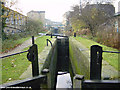
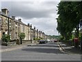
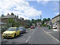
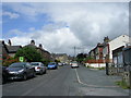
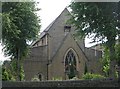
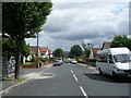
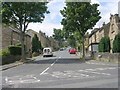
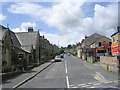

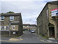
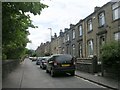
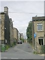
100 photos from this area
Area Information
Key information about the HD4 5EP including its size, population, and administrative classification.
- Area Type
- Postcode
- Area Size
- 7857 m²
- Population
- 2088
- Population Density
- 7918 people/km²
House Prices in HD4 5EP
20
Properties
£104,836
Average Sold Price
£65,000
Lowest Price
£132,500
Highest Price
Showing 20 properties
| Address | Type | Beds | Baths | Last Sale Price | Last Sale Date | |
|---|---|---|---|---|---|---|
| 64 Nabcroft Lane, Crosland Moor, Huddersfield, HD4 5EP | Semi-detached | 3 | 1 | £127,000 | Dec 2022 | |
| 98 Nabcroft Lane, Crosland Moor, Huddersfield, HD4 5EP | Terraced | 4 | 2 | £130,000 | Oct 2022 | |
| 88 Nabcroft Lane, Crosland Moor, Huddersfield, HD4 5EP | house | 4 | - | £132,500 | Sep 2022 | |
| 90 Nabcroft Lane, Crosland Moor, Huddersfield, HD4 5EP | Semi-detached | 4 | 2 | £119,500 | Apr 2021 | |
| 92 Nabcroft Lane, Crosland Moor, Huddersfield, HD4 5EP | Terraced | 3 | 2 | £115,750 | Apr 2021 | |
| 70 Nabcroft Lane, Crosland Moor, Huddersfield, HD4 5EP | Semi-detached | 2 | 1 | £92,000 | Mar 2021 | |
| 96 Nabcroft Lane, Crosland Moor, Huddersfield, HD4 5EP | house | - | - | £117,500 | Aug 2020 | |
| 94 Nabcroft Lane, Crosland Moor, Huddersfield, HD4 5EP | Semi-detached | 3 | 1 | £111,500 | May 2019 | |
| 76 Nabcroft Lane, Crosland Moor, Huddersfield, HD4 5EP | Semi-detached | 2 | 1 | £98,000 | Nov 2017 | |
| 62 Nabcroft Lane, Crosland Moor, Huddersfield, HD4 5EP | Semi-detached | 3 | 2 | £100,000 | Feb 2013 |
Page 1 of 2
Energy Efficiency in HD4 5EP
Amenities
Schools
| Rank | School | Type | Entry gender | Ages |
|---|
Explore more schools in this area
Go to Schools tabDemographics
Household Size
Family (3-5 people)
most common
Accommodation Type
Houses
most common
Tenure
49
majority
Ethnic Group
asian_total
most common
Religion
N/A
most common
Household Composition
N/A
most common
Age
47
median
Adults (30-64 years)
most common
Household Deprivation
N/A
with no deprivation
NS-SEC
14
in Lower managerial occupations
Explore more demographic insights in this area
Go to Demographics tabPlanning
Planning Constraints
- Flood RiskPremium
- Ramsar Wetland SitesPremium
- Area of Outstanding Natural BeautyPremium
- Protected Nature ReservePremium
- Protected WoodlandPremium