Area Overview for HD2 2NF
Photos of HD2 2NF
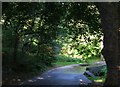
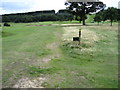
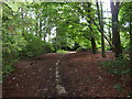
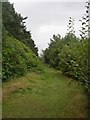
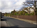
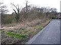
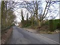
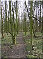
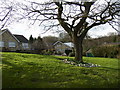
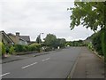
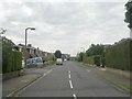
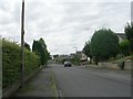
64 photos from this area
Area Information
Key information about the HD2 2NF including its size, population, and administrative classification.
- Area Type
- Postcode
- Area Size
- 12.9 hectares
- Population
- 1494
- Population Density
- 576 people/km²
House Prices in HD2 2NF
20
Properties
£318,455
Average Sold Price
£120,000
Lowest Price
£635,000
Highest Price
Showing 20 properties
| Address | Type | Beds | Baths | Last Sale Price | Last Sale Date | |
|---|---|---|---|---|---|---|
| 16 Camborne Drive, Fixby, Huddersfield, HD2 2NF | house | - | - | £635,000 | Jan 2022 | |
| 14 Camborne Drive, Fixby, Huddersfield, HD2 2NF | Detached | 4 | 3 | £390,000 | Sep 2019 | |
| 17 Camborne Drive, Fixby, Huddersfield, HD2 2NF | Detached | 5 | 2 | £405,000 | Jun 2019 | |
| 5 Camborne Drive, Fixby, Huddersfield, HD2 2NF | house | 5 | 3 | £530,000 | Sep 2017 | |
| 4 Camborne Drive, Fixby, Huddersfield, HD2 2NF | Detached | 4 | 2 | £362,000 | Oct 2016 | |
| Woodlands, 2A Camborne Drive, Fixby, Huddersfield, HD2 2NF | Bungalow | 4 | - | £340,000 | Feb 2015 | |
| 3 Camborne Drive, Fixby, Huddersfield, HD2 2NF | Detached | - | - | £305,000 | Apr 2005 | |
| 12 Camborne Drive, Fixby, Huddersfield, HD2 2NF | Detached | - | - | £151,000 | Aug 1999 | |
| 13 Camborne Drive, Fixby, Huddersfield, HD2 2NF | Detached | - | - | £125,000 | Jun 1997 | |
| 21 Camborne Drive, Fixby, Huddersfield, HD2 2NF | Detached | - | - | £120,000 | Jun 1996 |
Page 1 of 2
Energy Efficiency in HD2 2NF
Amenities
Schools
| Rank | School | Type | Entry gender | Ages |
|---|
Explore more schools in this area
Go to Schools tabDemographics
Household Size
Two person
most common
Accommodation Type
Houses
most common
Tenure
88
majority
Ethnic Group
White
most common
Religion
N/A
most common
Household Composition
N/A
most common
Age
47
median
Adults (30-64 years)
most common
Household Deprivation
N/A
with no deprivation
NS-SEC
47
in Lower managerial occupations
Explore more demographic insights in this area
Go to Demographics tabPlanning
Planning Constraints
- Flood RiskPremium
- Ramsar Wetland SitesPremium
- Area of Outstanding Natural BeautyPremium
- Protected Nature ReservePremium
- Protected WoodlandPremium