Area Overview for HD2 2EG
Photos of HD2 2EG
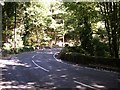
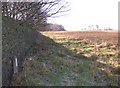
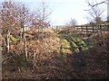
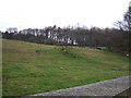
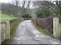
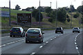
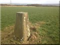
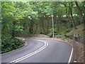
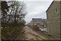
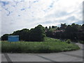
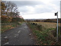
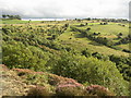
25 photos from this area
Area Information
Key information about the HD2 2EG including its size, population, and administrative classification.
- Area Type
- Postcode
- Area Size
- 23.0 hectares
- Population
- 2084
- Population Density
- 2257 people/km²
House Prices in HD2 2EG
36
Properties
£235,487
Average Sold Price
£33,750
Lowest Price
£675,000
Highest Price
Showing 36 properties
| Address | Type | Beds | Baths | Last Sale Price | Last Sale Date | |
|---|---|---|---|---|---|---|
| Stone Mill, Burn Road, Birchencliffe, Huddersfield, HD2 2EG | Detached | 4 | 3 | £670,000 | Nov 2023 | |
| 84 Burn Road, Birchencliffe, Huddersfield, HD2 2EG | house | - | - | £75,250 | Jun 2023 | |
| 85 Burn Road, Birchencliffe, Huddersfield, HD2 2EG | house | - | - | £125,000 | Jun 2023 | |
| 86 Burn Road, Birchencliffe, Huddersfield, HD2 2EG | house | - | - | £51,000 | Apr 2023 | |
| 88 Burn Road, Birchencliffe, Huddersfield, HD2 2EG | house | - | - | £309,995 | Apr 2023 | |
| 90 Burn Road, Birchencliffe, Huddersfield, HD2 2EG | house | - | - | £650,000 | Nov 2021 | |
| 92 Burn Road, Birchencliffe, Huddersfield, HD2 2EG | house | - | - | £675,000 | Nov 2021 | |
| 93 Burn Road, Birchencliffe, Huddersfield, HD2 2EG | Detached | 4 | 2 | £545,000 | Oct 2021 | |
| 126 Burn Road, Birchencliffe, Huddersfield, HD2 2EG | Terraced | 5 | 2 | £290,000 | Sep 2021 | |
| 81 Burn Road, Birchencliffe, Huddersfield, HD2 2EG | house | - | - | £51,250 | Aug 2021 |
Page 1 of 4
Energy Efficiency in HD2 2EG
Amenities
Schools
| Rank | School | Type | Entry gender | Ages |
|---|
Explore more schools in this area
Go to Schools tabDemographics
Household Size
Family (3-5 people)
most common
Accommodation Type
Houses
most common
Tenure
72
majority
Ethnic Group
White
most common
Religion
N/A
most common
Household Composition
N/A
most common
Age
47
median
Adults (30-64 years)
most common
Household Deprivation
N/A
with no deprivation
NS-SEC
47
in Lower managerial occupations
Explore more demographic insights in this area
Go to Demographics tabPlanning
Planning Constraints
- Flood RiskPremium
- Ramsar Wetland SitesPremium
- Area of Outstanding Natural BeautyPremium
- Protected Nature ReservePremium
- Protected WoodlandPremium