Area Overview for HD2 1YU
Photos of HD2 1YU
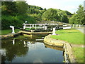
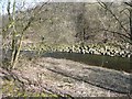
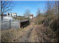
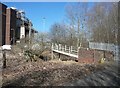
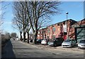
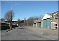
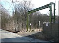
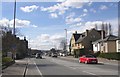
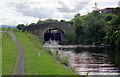
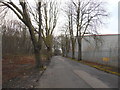
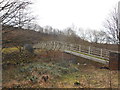
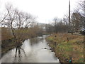
60 photos from this area
Area Information
Key information about the HD2 1YU including its size, population, and administrative classification.
- Area Type
- Postcode
- Area Size
- 5.4 hectares
- Population
- 1631
- Population Density
- 1272 people/km²
House Prices in HD2 1YU
11
Properties
£58,375
Average Sold Price
£24,000
Lowest Price
£98,875
Highest Price
Showing 11 properties
| Address | Type | Beds | Baths | Last Sale Price | Last Sale Date | |
|---|---|---|---|---|---|---|
| 564 Leeds Road, Huddersfield, HD2 1YU | Terraced | 3 | 1 | £96,000 | May 2023 | |
| 556 Leeds Road, Huddersfield, HD2 1YU | Terraced | 3 | 1 | £98,875 | Apr 2022 | |
| 558 Leeds Road, Huddersfield, HD2 1YU | Terraced | 2 | 1 | £77,000 | Jun 2018 | |
| 562 Leeds Road, Huddersfield, HD2 1YU | Terraced | - | - | £87,000 | Aug 2007 | |
| 570 Leeds Road, Huddersfield, HD2 1YU | house | 4 | 1 | £62,000 | Aug 2005 | |
| 568 Leeds Road, Huddersfield, HD2 1YU | Terraced | - | - | £24,000 | Nov 2001 | |
| 554 Leeds Road, Huddersfield, HD2 1YU | Terraced | 2 | 1 | £27,000 | Jun 2001 | |
| 560 Leeds Road, Huddersfield, HD2 1YU | Terraced | - | - | £26,500 | Nov 1999 | |
| 552 Leeds Road, Huddersfield, HD2 1YU | Terraced | - | - | £27,000 | Aug 1996 | |
| 566 Leeds Road, Huddersfield, HD2 1YU | Terraced | - | - | - | - |
Page 1 of 2
Energy Efficiency in HD2 1YU
Amenities
Schools
| Rank | School | Type | Entry gender | Ages |
|---|
Explore more schools in this area
Go to Schools tabDemographics
Household Size
One person
most common
Accommodation Type
Houses
most common
Tenure
35
majority
Ethnic Group
White
most common
Religion
N/A
most common
Household Composition
N/A
most common
Age
47
median
Adults (30-64 years)
most common
Household Deprivation
N/A
with no deprivation
NS-SEC
15
in Lower managerial occupations
Explore more demographic insights in this area
Go to Demographics tabPlanning
Planning Constraints
- Flood RiskPremium
- Ramsar Wetland SitesPremium
- Area of Outstanding Natural BeautyPremium
- Protected Nature ReservePremium
- Protected WoodlandPremium