Area Overview for DN8 4QH
Photos of DN8 4QH
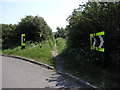
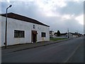
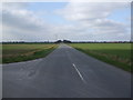
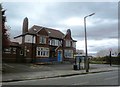
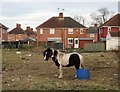
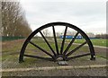
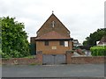
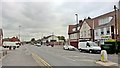
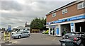
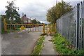
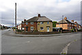
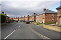
42 photos from this area
Area Information
Key information about the DN8 4QH including its size, population, and administrative classification.
- Area Type
- Postcode
- Area Size
- 5317 m²
- Population
- 1598
- Population Density
- 45 people/km²
House Prices in DN8 4QH
15
Properties
£68,833
Average Sold Price
£44,000
Lowest Price
£84,000
Highest Price
Showing 15 properties
| Address | Type | Beds | Baths | Last Sale Price | Last Sale Date | |
|---|---|---|---|---|---|---|
| 55 High Hazel Road, Moorends, Doncaster, DN8 4QH | Terraced | 3 | - | £77,000 | Feb 2020 | |
| 29 High Hazel Road, Moorends, Doncaster, DN8 4QH | house | - | - | £70,000 | Mar 2019 | |
| 53 High Hazel Road, Moorends, Doncaster, DN8 4QH | Terraced | 3 | 1 | £60,000 | Feb 2011 | |
| 49 High Hazel Road, Moorends, Doncaster, DN8 4QH | house | 4 | 2 | £78,000 | Apr 2009 | |
| 57 High Hazel Road, Moorends, Doncaster, DN8 4QH | Semi-detached | - | - | £84,000 | Aug 2007 | |
| 35 High Hazel Road, Moorends, Doncaster, DN8 4QH | Semi-detached | 3 | 1 | £44,000 | Oct 2003 | |
| 51 High Hazel Road, Moorends, Doncaster, DN8 4QH | house | - | - | - | - | |
| 37 High Hazel Road, Moorends, Doncaster, DN8 4QH | house | - | - | - | - | |
| 39 High Hazel Road, Moorends, Doncaster, DN8 4QH | Semi-detached | - | - | - | - | |
| 33 High Hazel Road, Moorends, Doncaster, DN8 4QH | house | - | - | - | - |
Page 1 of 2
Energy Efficiency in DN8 4QH
Amenities
Schools
| Rank | School | Type | Entry gender | Ages |
|---|
Explore more schools in this area
Go to Schools tabDemographics
Household Size
Family (3-5 people)
most common
Accommodation Type
Houses
most common
Tenure
69
majority
Ethnic Group
White
most common
Religion
N/A
most common
Household Composition
N/A
most common
Age
47
median
Adults (30-64 years)
most common
Household Deprivation
N/A
with no deprivation
NS-SEC
16
in Lower managerial occupations
Explore more demographic insights in this area
Go to Demographics tabPlanning
Planning Constraints
- Flood RiskPremium
- Ramsar Wetland SitesPremium
- Area of Outstanding Natural BeautyPremium
- Protected Nature ReservePremium
- Protected WoodlandPremium