Area Overview for DN7 5QX
Photos of DN7 5QX
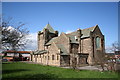
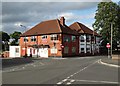
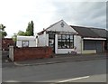
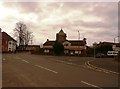
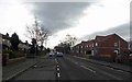
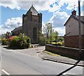

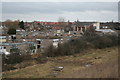
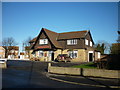

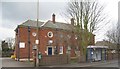
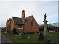
30 photos from this area
Area Information
Key information about the DN7 5QX including its size, population, and administrative classification.
- Area Type
- Postcode
- Area Size
- 9010 m²
- Population
- 1534
- Population Density
- 2212 people/km²
House Prices in DN7 5QX
22
Properties
£70,190
Average Sold Price
£10,000
Lowest Price
£122,000
Highest Price
Showing 22 properties
| Address | Type | Beds | Baths | Last Sale Price | Last Sale Date | |
|---|---|---|---|---|---|---|
| 33 Haig Crescent, Stainforth, Doncaster, DN7 5QX | Terraced | 3 | 1 | £113,000 | Jul 2025 | |
| 31 Haig Crescent, Stainforth, Doncaster, DN7 5QX | Semi-detached | 3 | 1 | £90,000 | May 2024 | |
| 35 Haig Crescent, Stainforth, Doncaster, DN7 5QX | Terraced | 3 | 1 | £122,000 | Apr 2024 | |
| 37 Haig Crescent, Stainforth, Doncaster, DN7 5QX | Semi-detached | 3 | 2 | £66,500 | May 2017 | |
| 41 Haig Crescent, Stainforth, Doncaster, DN7 5QX | Semi-detached | 3 | - | £65,000 | Nov 2014 | |
| 29 Haig Crescent, Stainforth, Doncaster, DN7 5QX | Terraced | - | - | £79,950 | Mar 2012 | |
| 7 Haig Crescent, Stainforth, Doncaster, DN7 5QX | Semi-detached | 3 | 1 | £94,995 | Dec 2007 | |
| 21 Haig Crescent, Stainforth, Doncaster, DN7 5QX | Terraced | 3 | 2 | £32,500 | Oct 2007 | |
| 11 Haig Crescent, Stainforth, Doncaster, DN7 5QX | house | 3 | - | £27,950 | May 2003 | |
| 3 Haig Crescent, Stainforth, Doncaster, DN7 5QX | house | - | - | £10,000 | Apr 1999 |
Page 1 of 3
Energy Efficiency in DN7 5QX
Amenities
Schools
| Rank | School | Type | Entry gender | Ages |
|---|
Explore more schools in this area
Go to Schools tabDemographics
Household Size
Family (3-5 people)
most common
Accommodation Type
Houses
most common
Tenure
32
majority
Ethnic Group
White
most common
Religion
N/A
most common
Household Composition
N/A
most common
Age
47
median
Adults (30-64 years)
most common
Household Deprivation
N/A
with no deprivation
NS-SEC
11
in Lower managerial occupations
Explore more demographic insights in this area
Go to Demographics tabPlanning
Planning Constraints
- Flood RiskPremium
- Ramsar Wetland SitesPremium
- Area of Outstanding Natural BeautyPremium
- Protected Nature ReservePremium
- Protected WoodlandPremium