Area Overview for DN5 9TE
Photos of DN5 9TE

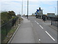
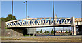
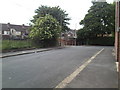
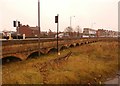

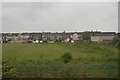
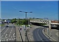
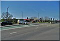

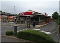
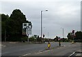
38 photos from this area
Area Information
Key information about the DN5 9TE including its size, population, and administrative classification.
- Area Type
- Postcode
- Area Size
- 7544 m²
- Population
- 1428
- Population Density
- 2754 people/km²
House Prices in DN5 9TE
22
Properties
£114,221
Average Sold Price
£25,000
Lowest Price
£245,000
Highest Price
Showing 22 properties
| Address | Type | Beds | Baths | Last Sale Price | Last Sale Date | |
|---|---|---|---|---|---|---|
| 102 Bentley Road, Bentley, Doncaster, DN5 9TE | Detached | 3 | 3 | £225,000 | Sep 2025 | |
| 100 Bentley Road, Bentley, Doncaster, DN5 9TE | Semi-detached | 4 | 3 | £245,000 | Apr 2022 | |
| 70 Bentley Road, Bentley, Doncaster, DN5 9TE | Terraced | 3 | 3 | £89,100 | Aug 2021 | |
| 74 Bentley Road, Bentley, Doncaster, DN5 9TE | Terraced | 3 | 1 | £90,000 | Jul 2021 | |
| 94 Bentley Road, Bentley, Doncaster, DN5 9TE | Semi-detached | 3 | 1 | £118,000 | Jul 2021 | |
| 96 Bentley Road, Bentley, Doncaster, DN5 9TE | Semi-detached | 3 | 1 | £89,000 | Sep 2019 | |
| 108 Bentley Road, Bentley, Doncaster, DN5 9TE | house | - | - | £150,000 | May 2017 | |
| 104 Bentley Road, Bentley, Doncaster, DN5 9TE | Semi-detached | - | - | £100,000 | Sep 2016 | |
| 92 Bentley Road, Bentley, Doncaster, DN5 9TE | house | 2 | - | £103,000 | Jun 2008 | |
| 84 Bentley Road, Bentley, Doncaster, DN5 9TE | Terraced | - | - | £110,000 | Jun 2007 |
Page 1 of 3
Energy Efficiency in DN5 9TE
Amenities
Schools
| Rank | School | Type | Entry gender | Ages |
|---|
Explore more schools in this area
Go to Schools tabDemographics
Household Size
One person
most common
Accommodation Type
Houses
most common
Tenure
45
majority
Ethnic Group
White
most common
Religion
N/A
most common
Household Composition
N/A
most common
Age
47
median
Adults (30-64 years)
most common
Household Deprivation
N/A
with no deprivation
NS-SEC
16
in Lower managerial occupations
Explore more demographic insights in this area
Go to Demographics tabPlanning
Planning Constraints
- Flood RiskPremium
- Ramsar Wetland SitesPremium
- Area of Outstanding Natural BeautyPremium
- Protected Nature ReservePremium
- Protected WoodlandPremium